Live Tracker Maps as Tornado Outbreak Could Batter US
Summary
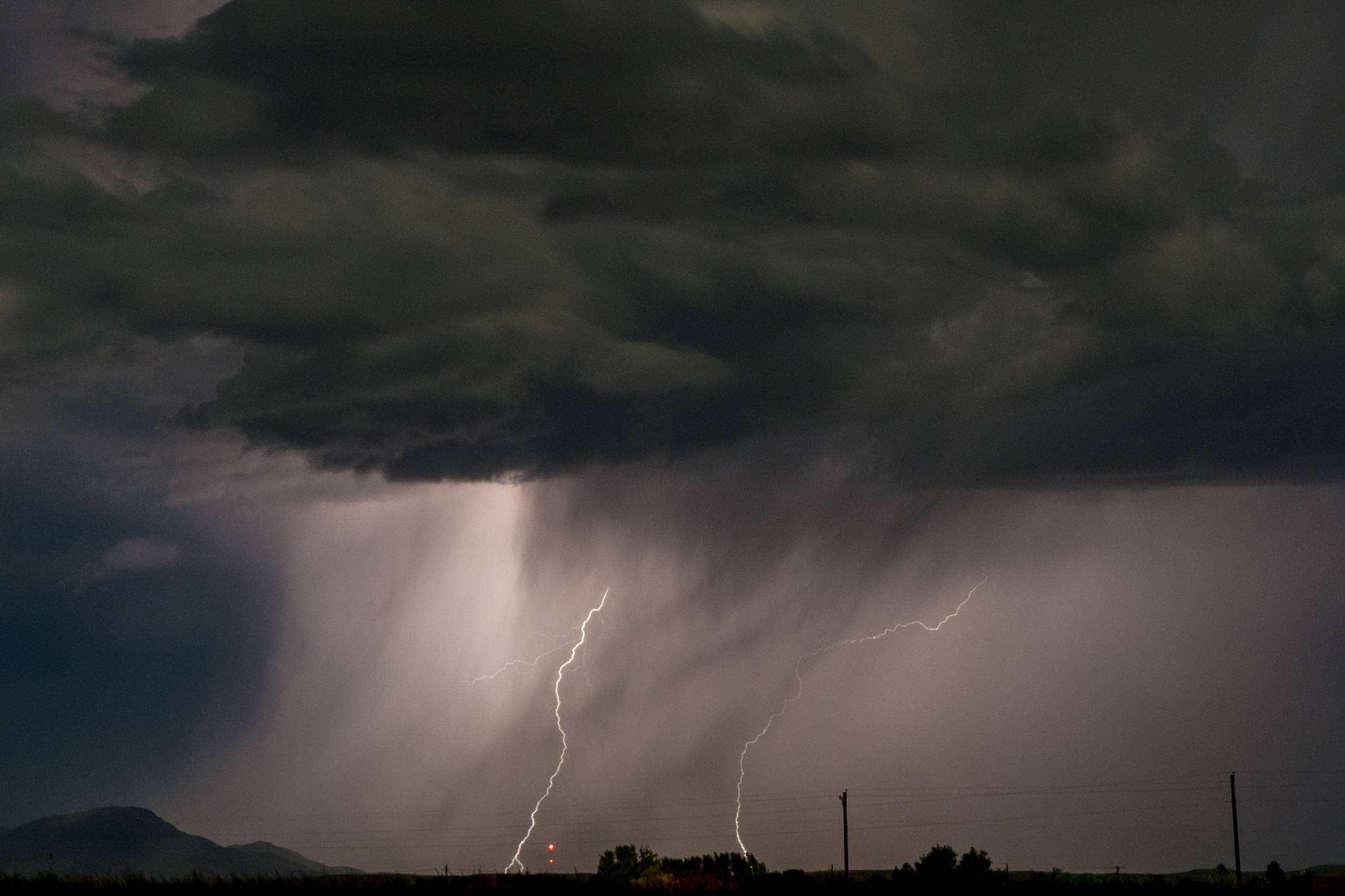
Severe weather is expected to hit the central United States, with meteorologists warning of possible tornado outbreaks from Texas to the Ohio Valley. The storms, driven by a mix of warm and cool air, could include damaging winds, large hail, and flash flooding. Real-time alerts and live tracker maps will be important tools for residents to monitor these fast-changing conditions.Key Facts
- Meteorologists predict severe weather across central U.S. with a high risk of tornadoes.
- The storm will move from Texas to the Ohio Valley, affecting many states.
- The weather system involves a mix of warm, moist Gulf air and cooler air masses.
- Possible effects include strong winds, large hail, and flash flooding.
- Live tracker maps and alerts will help residents stay informed about the storm's path.
- The greatest tornado risk is expected on Wednesday, with severe thunderstorms already starting in some areas.
- High temperatures are aiding in storm development by providing energy and moisture.
- Affected states will include regions from Texas to Michigan, with shifts eastward by Wednesday.
Read the Full Article
This is a fact-based summary from The Actual News. Click below to read the complete story directly from the original source.