Summary
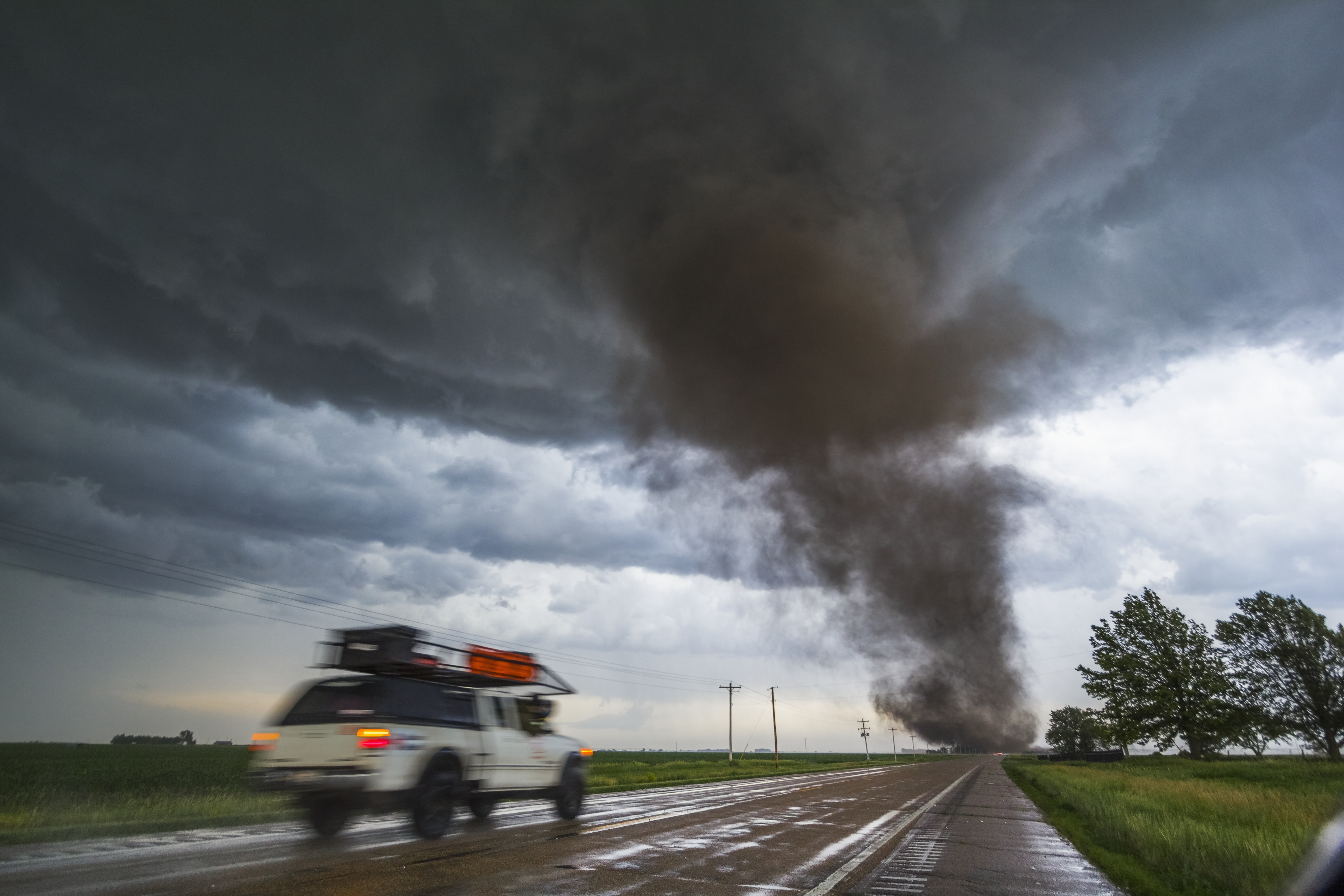
The National Weather Service (NWS) updated its storm outlook, showing an increased risk of severe weather, including tornadoes, in the Midwest and Ohio Valley. Meteorologists warn of possible very large hail, damaging winds, and tornadoes, especially in central Illinois, Indiana, and Ohio. The weather conditions are expected to worsen by Thursday afternoon and evening.
Key Facts
- The NWS adjusted its storm prediction to show a higher risk area in the Midwest and Ohio Valley.
- "Enhanced risk" means many severe storms are possible; it's level three out of five on the risk scale.
- Central Illinois, Indiana, and Ohio are at the highest risk, with extended risks into surrounding states.
- Meteorologists predict large hail and strong tornadoes, particularly between 2-10 p.m. on Thursday.
- Above-average temperatures could make the storms more severe.
- 268 tornadoes have already occurred this year, primarily in the Midwest.
- No severe thunderstorm or tornado warnings are currently in place, but hazardous weather outlooks have been issued for affected areas.