Summary
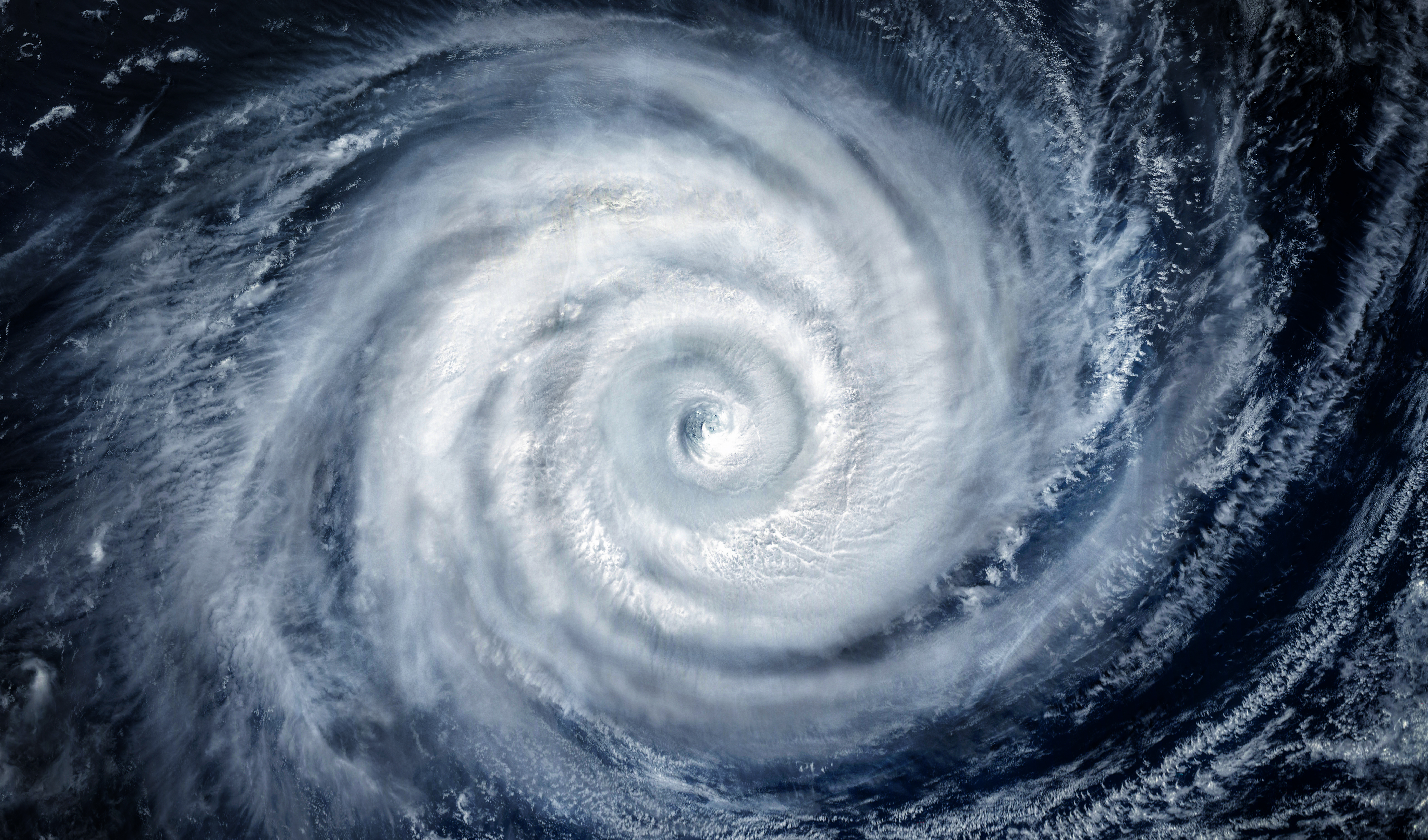
There are predictions for three cyclones, called triplet cyclones, to form in the Pacific Ocean next week. This might signal the start of a strong El Niño, which is a climate pattern that can change weather across the world. El Niño is expected to develop during the summer and could become particularly strong by the fall.
Key Facts
- An Artificial Intelligence Forecasting System predicts the formation of triplet cyclones in the Pacific Ocean next week.
- El Niño is a climate pattern that involves warmer ocean temperatures in the Equatorial Pacific and can affect global weather patterns.
- The current chance of developing El Niño between June and August is about 62 percent.
- A "super El Niño" happens when sea temperatures rise more than 2 degrees Celsius over normal, a rare event.
- The cyclones likely won't reach land but could push warm water to the east, which helps start an El Niño.
- In past years like 2015 and 1997, early season cyclones led to strong El Niño events.
- A super El Niño could bring warmer, drier weather to the northern U.S. and wetter, cooler weather to the southern U.S., and less hurricane activity in the Atlantic.