Summary
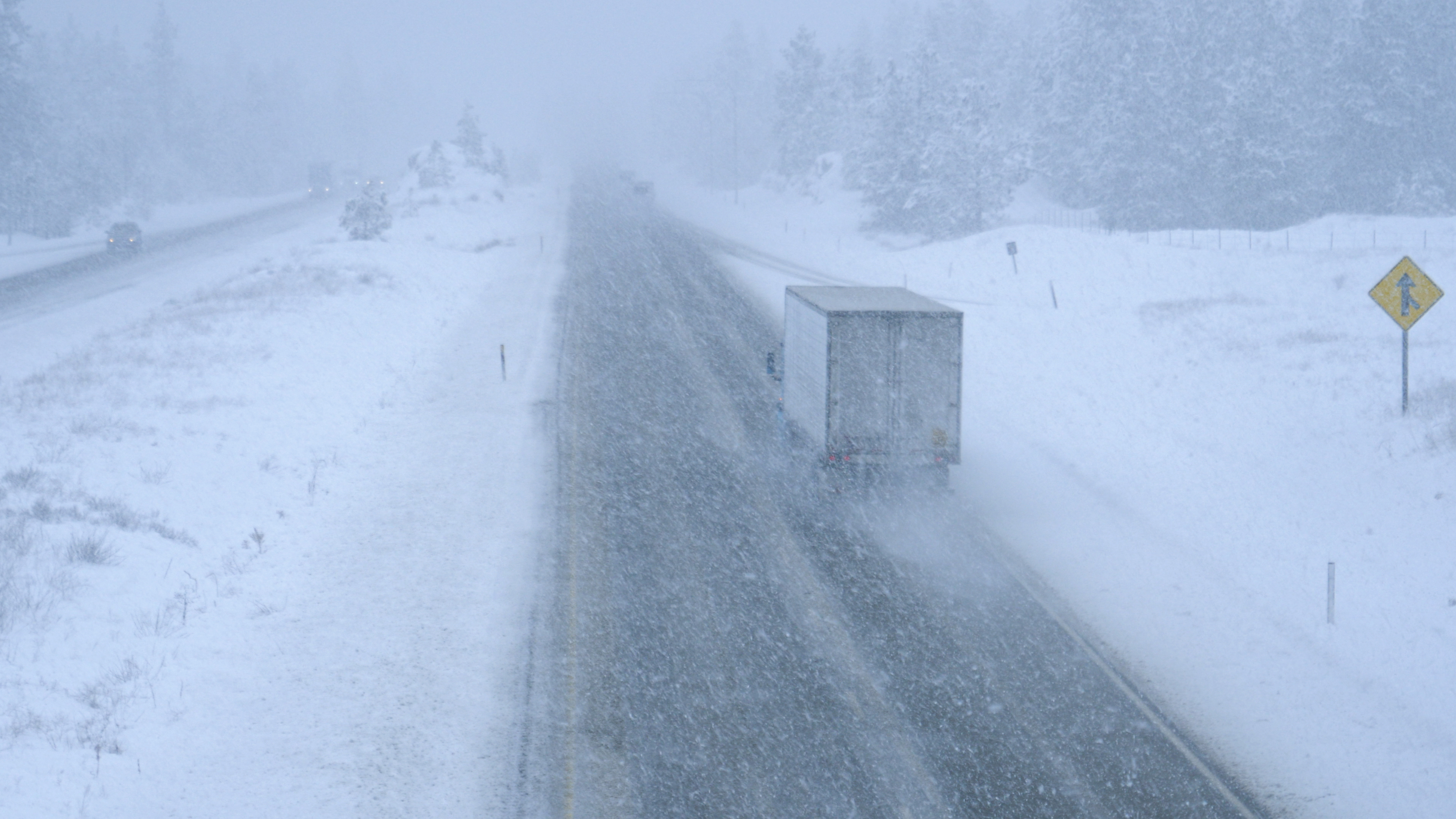
A significant snowstorm is expected to hit parts of Wyoming and Montana with up to 18 inches of snow, high winds, and near-blizzard conditions starting Wednesday evening. The National Weather Service (NWS) has issued several winter storm watches across the region, warning that travel could become very difficult or impossible in some areas due to heavy snowfall and strong winds.
Key Facts
- The storm is forecasted to bring up to 18 inches of snow in areas of Wyoming and Montana from Wednesday evening.
- Strong winds, reaching up to 60 mph, are expected, leading to reduced visibility.
- Winter storm watches are in place for northwestern Wyoming and southern Montana.
- The NWS warns that travel in these regions could become very difficult or even impossible.
- Areas like the Absaroka, Teton, and Gros Ventre Mountains may see significant snowfall.
- The NWS explained that a winter storm watch means dangerous weather is possible, while a warning means hazardous weather is certain or happening.
- Residents and travelers are advised to keep updated with the forecasts as conditions could worsen rapidly.