Heavy Snow Warning as 10 Inches Set to Hit
Summary
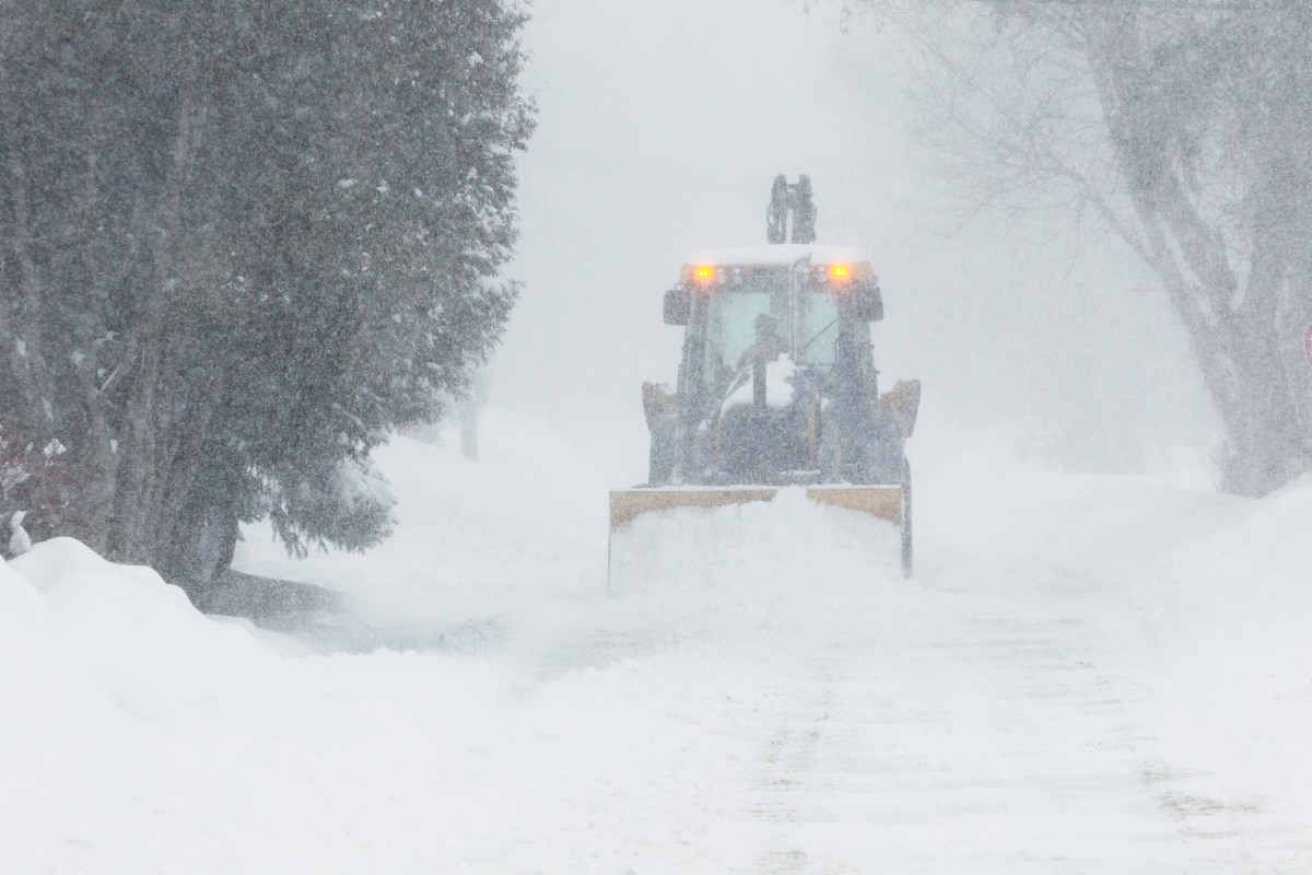
A late-season winter storm is expected to bring up to 10 inches of snow and strong winds to central and southwestern Montana from Wednesday evening through Thursday afternoon. The National Weather Service has issued a winter storm watch, warning of dangerous travel, low visibility, and possible power outages.Key Facts
- The storm will hit parts of Montana starting Wednesday evening and last until Thursday afternoon.
- Snowfall could reach 10 inches in some mountain areas and 4 to 8 inches in others.
- Winds may reach speeds up to 60 miles per hour, causing blowing snow and whiteout conditions.
- The affected areas include multiple counties and mountain ranges, such as the Judith, Snowy, and Gallatin Mountains.
- Visibility may drop below a quarter mile during heavy snow, increasing travel dangers.
- Tire chains may be required for vehicles on mountain passes due to hazardous conditions.
- Strong winds may bring down trees and power lines, potentially causing localized outages.
- The National Weather Service could upgrade the winter storm watch to a warning as the storm approaches.
Read the Full Article
This is a fact-based summary from The Actual News. Click below to read the complete story directly from the original source.