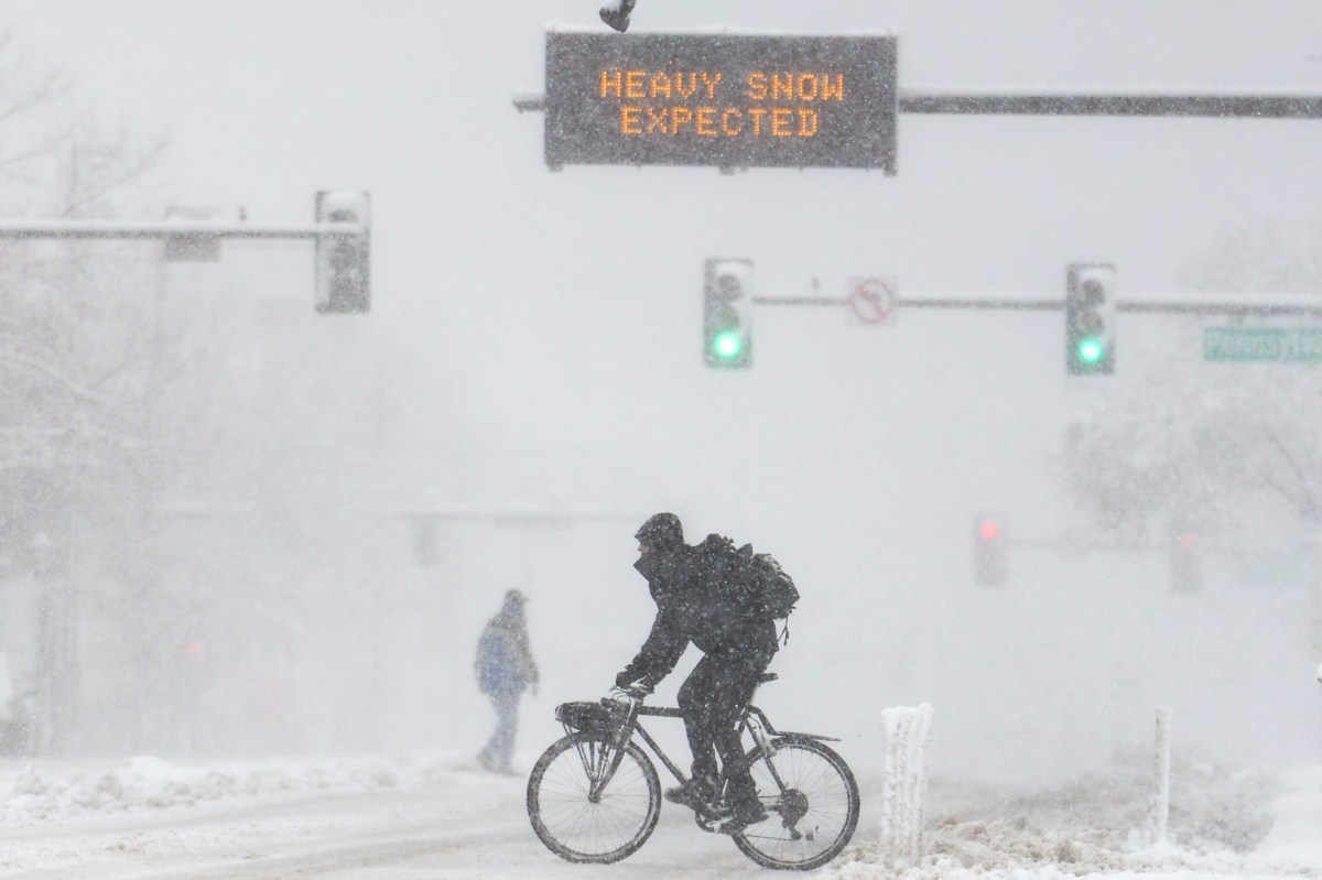
Heavy Snow Warning—Up to 10 Inches To Strike Wyoming, Colorado, Montana
Summary
The National Weather Service predicts up to 10 inches of snow in parts of Wyoming, Colorado, and Montana starting Monday. The heavy snow will cause slippery roads and dangerous outdoor conditions, especially in mountainous areas.Key Facts
- Southern Wyoming’s Sierra Madre and Snowy Ranges expect 6 to 10 inches of snow from Monday afternoon to Tuesday afternoon.
- Northern and northeastern Wyoming foothills and mountains could see 5 to 10 inches by midday Monday.
- Central Colorado’s higher elevations may receive up to 3 inches of snow; parts of north central Colorado could get up to 8 inches with winds up to 40 mph.
- South-central and southeastern Montana’s high elevations are forecasted to get 1 to 10 inches of snow and winds between 30 and 35 mph.
- Roads affected include Highway 14 in the Bighorns, I-90 from Lodge Grass to Sheridan, US-212 over Lame Deer Divide, and several Colorado mountain passes.
- The NWS advises people to check weather updates, avoid nonessential travel, drive slowly, and prepare emergency kits with food, water, and blankets.
- Residents should prepare for possible power outages caused by heavy snow affecting power lines and tree branches.
- Snowfall is expected to decrease later in the week in Wyoming and Montana, with Colorado seeing light, occasional snow before warmer weather arrives.
Read the Full Article
This is a fact-based summary from The Actual News. Click below to read the complete story directly from the original source.