NASA maps show Earth's brightest and darkest regions at night
Summary
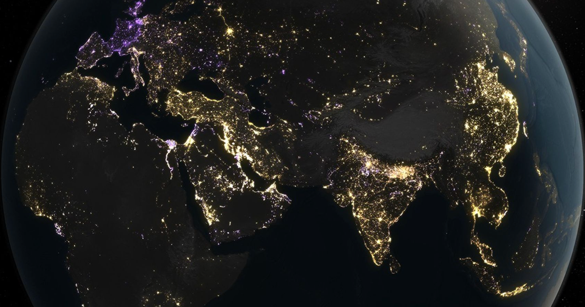
NASA created new maps of Earth’s night lights using data from 2014 to 2022. The maps show that some areas are getting brighter while others are dimmer, reflecting changes in population, energy use, and events like wars.Key Facts
- NASA used data from three satellites to track artificial light at night over nearly 10 years.
- Overall, night light brightness increased by 34%, but dimming reduced this by 18%.
- Changes in light levels show patterns of economic growth, energy policy, and blackouts.
- U.S. West Coast cities became brighter due to population growth; East Coast cities dimmed due to energy-efficient bulbs and economic shifts.
- In China and northern India, night lights grew brighter with urban development.
- Europe saw dimming from energy-saving measures and a drop in brightness in 2022 related to the war in Ukraine and its energy crisis.
- The study shows that changes in night lights are not uniform but vary widely across regions.
- These findings help us understand human impact on the environment and energy use.
Read the Full Article
This is a fact-based summary from The Actual News. Click below to read the complete story directly from the original source.