North Carolina’s Outer Banks could see dangerous surf and winds from Hurricane Erin
Summary
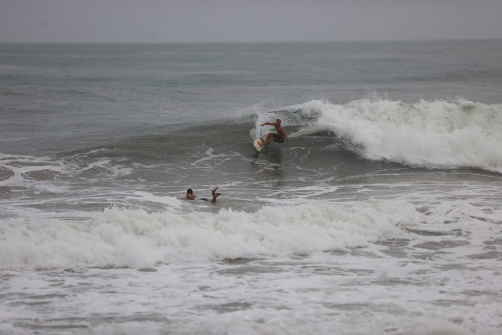
Hurricane Erin has started affecting parts of the Caribbean with rain and wind and is expected to create dangerous surf along the U.S. East Coast. The storm is not expected to hit land directly but has led to evacuation orders in some areas of North Carolina's Outer Banks. Forecasters predict coastal flooding and strong waves could impact roads and transportation.Key Facts
- Hurricane Erin has reached Category 4, with winds of 140 mph.
- Evacuations are ordered for Hatteras Island and Ocracoke Island in North Carolina's Outer Banks.
- The storm is causing heavy surf and rip currents along the U.S. East Coast.
- Roads in the Outer Banks risk being flooded or damaged by waves.
- Erin was previously a Category 5 hurricane with winds reaching 160 mph.
- The storm's outer bands impacted Puerto Rico and the Virgin Islands with rain and wind.
- Coastal flooding is expected from Tuesday through Thursday.
- Scientific research links stronger hurricanes to climate change, due to warmer ocean temperatures.
Read the Full Article
This is a fact-based summary from The Actual News. Click below to read the complete story directly from the original source.
