Satellites and AI used to track UK hedgehogs in bid to slow decline
Summary
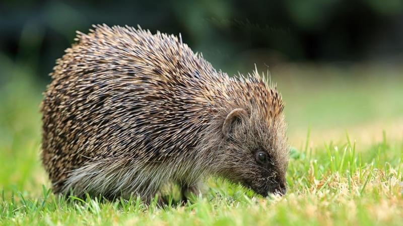
Researchers at the University of Cambridge are using satellite images and artificial intelligence (AI) to find and protect hedgehog habitats in the UK. The AI tool, called Tessera, analyzes detailed space photos to map where hedgehogs live and how changes like new buildings affect them.Key Facts
- The University of Cambridge uses Tessera, an AI system, to analyze satellite images of the UK.
- Tessera can detect hedgehog habitats with high detail, including features like hedgerows.
- The AI predicts areas where hedgehogs might live even under cloud cover.
- Researchers track hedgehogs using tiny GPS devices called "digi-hogs" to monitor their movements live.
- Hedgehog numbers in the UK have dropped by up to 75% in rural areas since 2000.
- The common western European hedgehog is classified as "Near Threatened" by conservation groups.
- Tessera was trained on about 20 petabytes of data, equal to 10 billion digital photos.
- More than 100 research groups worldwide use Tessera for various projects, including farming and environmental monitoring.
Read the Full Article
This is a fact-based summary from The Actual News. Click below to read the complete story directly from the original source.