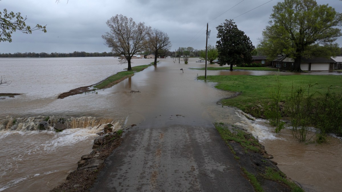
Flood Watch Live Tracker Maps as Warnings Issued Across 12 States
Summary
Flood watches have been issued across 12 states in the U.S. due to expected heavy rain and the risk of flash flooding. Areas from Texas to the Mid-Atlantic are experiencing repeated storms, with some locations already saturated and vulnerable to flooding.Key Facts
- Flood watches cover Texas, Louisiana, Mississippi, Alabama, Georgia, Florida Panhandle, Kentucky, Indiana, Ohio, West Virginia, Pennsylvania, and Maryland.
- Slow-moving storms are causing repeated heavy rain over the same areas, increasing flood risk.
- Texas, especially Central Texas including Austin and San Antonio, faces life-threatening flooding with up to 5 inches of rain possible.
- Some parts of Texas also have severe thunderstorm warnings with hail and strong winds.
- The Lower Mississippi Valley, including New Orleans and coastal areas, may experience flooding and dangerous travel conditions.
- The Deep South and Gulf Coast areas could see localized rain totals of 6 to 8 inches.
- The Ohio Valley and Central Appalachians are expecting widespread heavy rain and flash flooding due to saturated soil.
- Flash flooding risk is high in urban areas, rivers, and low-lying communities across the affected region.
Read the Full Article
This is a fact-based summary from The Actual News. Click below to read the complete story directly from the original source.