Mystery GPS jammer in Iran becomes test for NASA satellites’ capabilities
Summary
NASA satellites designed for weather and Earth observation have also been used to find the approximate locations of GPS jammers. In a test near Shiraz, Iran, these satellites identified a GPS jammer within a few kilometers, which could help improve safety for planes and ships affected by GPS interference.Key Facts
- GPS jammers send strong signals to block weaker signals from navigation satellites like the US GPS system.
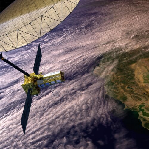
- Two NASA satellite systems, CYGNSS and NISAR, were tested for locating a GPS jammer in Iran.
- CYGNSS uses reflected GPS signals from the ocean to measure hurricane winds and detected the jammer within about 4.33 kilometers.
- NISAR uses radar to map Earth’s surface changes and located the jammer within about 6.26 kilometers.
- The jammer near Shiraz, Iran, has been active since early 2026 and increased power during conflict involving the US and Israel.
- These satellites cannot pinpoint exact locations or provide real-time monitoring but can give approximate locations.
- Knowing the approximate location of GPS jammers can help with flight planning and maritime navigation safety.
- The experiment compared satellite data with independent intelligence to confirm jammer locations during specific days when the jammer was on or off.
Read the Full Article
This is a fact-based summary from The Actual News. Click below to read the complete story directly from the original source.