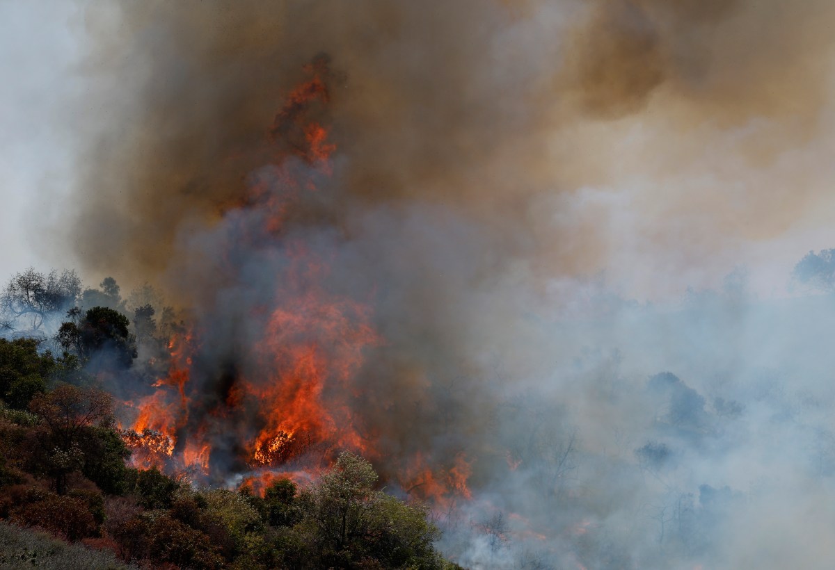
Map Shows US Areas Most at Risk of Wildfire This Summer
Summary
A new federal map shows many parts of the United States are likely to face a higher risk of wildfires this summer due to dry conditions and higher temperatures. The National Interagency Fire Center’s outlook warns that drought, low rainfall, and heat will create more flammable vegetation, increasing the chance of large wildfires across many regions, especially in the West and central U.S.Key Facts
- The wildfire risk map is based on the National Interagency Fire Center’s seasonal fire outlook for May through July.
- Dry conditions and drought have spread or worsened in much of the Western U.S. and the central and southern Plains.
- Many areas received below-average rainfall in spring, contributing to dry vegetation.
- Temperatures are expected to be higher than normal across most of the U.S. this summer.
- Precipitation is forecast to remain below normal in the western half of the country and parts of the central Plains.
- Early wildfire activity has already increased in regions including the Southern and Rocky Mountains, Southwest, California, Great Basin, Northern Rockies, and Eastern U.S.
- States with above-average wildfire risk include parts of Washington, Oregon, California, Nevada, Utah, Colorado, Wyoming, Arizona, New Mexico, Texas, Louisiana, Florida, and Georgia.
- The outlook is intended to help officials and the public prepare for a potentially dangerous wildfire season.
Read the Full Article
This is a fact-based summary from The Actual News. Click below to read the complete story directly from the original source.