El Niño forms in Pacific as experts say it will likely turbocharge extreme weather
Summary
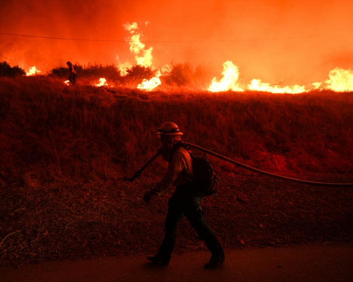
A natural climate event called El Niño has formed in the Pacific Ocean and is expected to become very strong. This warming of ocean waters can lead to more extreme weather around the world, such as storms, droughts, floods, and heat waves.Key Facts
- El Niño is a natural cycle of warmer ocean waters near the equator in the Pacific.
- The US National Oceanic and Atmospheric Administration (NOAA) confirmed El Niño and says there is a 63% chance it will be one of the strongest since 1950.
- This event can increase extreme weather like heatwaves, floods, droughts, tornadoes, and wildfires worldwide.
- El Niño often reduces hurricanes in the Atlantic but increases storms in the Pacific, putting places like Hawaii at higher risk.
- Some regions like the drought-affected Middle East may see relief from rain, while others like western South America could face floods and heat.
- In the US, El Niño can bring wetter winters in the South and warmer, drier conditions in the Pacific Northwest.
- Scientists warn that El Niño could slow US economic growth due to higher temperatures.
- The event is expected to peak in late fall or early winter and may last longer than usual.
Read the Full Article
This is a fact-based summary from The Actual News. Click below to read the complete story directly from the original source.