Michigan floods expose lack of information, preparation in many rural areas
Summary
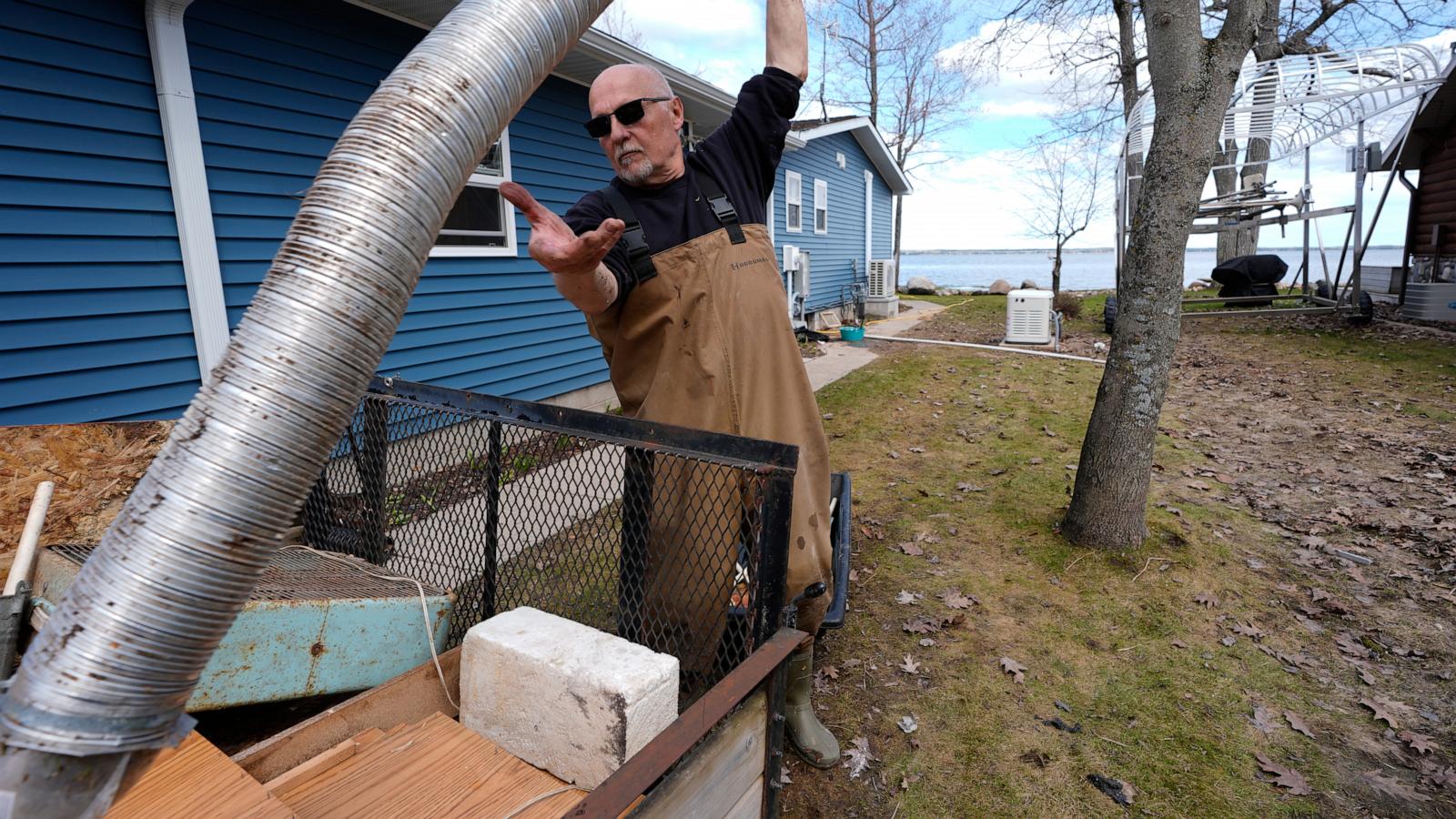
Many rural homeowners in northern Michigan were caught off guard by severe floods this spring because flood risk maps did not include their areas, and they often lacked flood insurance. Experts say this shows a wider problem in rural America where outdated federal flood maps do not reflect the real risks, especially as climate change causes more extreme weather.Key Facts
- Michigan experienced historic floods in spring 2026, damaging homes and infrastructure.
- Many homeowners did not have flood insurance because maps showed they were not in flood zones.
- Federal flood maps, managed by FEMA, often do not cover less-populated rural areas.
- These maps mainly focus on flooding from rivers and streams, not heavy rainfall flooding.
- Climate change is increasing extreme rain events that cause flooding beyond mapped areas.
- A private company, First Street, found many more properties at flood risk when including rainfall data.
- FEMA flood maps are described as “snapshots in time” and may not reflect current risks.
- FEMA has not confirmed plans to update maps to better account for rainfall and rural areas despite warnings from federal watchdogs.
Read the Full Article
This is a fact-based summary from The Actual News. Click below to read the complete story directly from the original source.