U.S. Drought Predictions For July as New Map Released
Summary
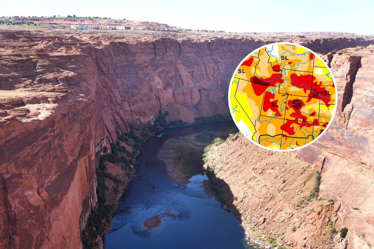
A new U.S. drought map shows many areas in the country facing dry conditions as July begins. Some regions saw short-term rain that helped, but overall drought is expected to worsen in parts of the West, Plains, and Southeast due to heat and a dry weather pattern.Key Facts
- The U.S. Drought Monitor released its latest map showing drought conditions across the country.
- About 43% of the U.S. is experiencing some level of drought, ranging from mild dryness to the most severe category, called "exceptional drought."
- The worst drought conditions remain in parts of the West, High Plains, South, and Southeast.
- Tropical Storm Arthur helped improve drought briefly in Texas and the Southeast, but this improvement may not last.
- Heat and dry weather are expected to bring a return of drought in the South and parts of Texas by mid-July.
- Some areas like the Delmarva Peninsula and southeastern Texas have seen small improvements due to recent rainfall.
- The Mountain West, Northwest, and northern Rockies are expected to see increasing drought and dryness through July.
- The Southwest may see some rain from the monsoon season and Pacific storms, but drought there will largely persist.
Read the Full Article
This is a fact-based summary from The Actual News. Click below to read the complete story directly from the original source.