Saharan Dust Cloud Set to Hit U.S. Amid Peak of Atlantic Hurricane Season
Summary
A large cloud of dust from the Sahara Desert is moving across the Atlantic Ocean toward the southeastern United States, including Florida and the Gulf Coast. This dust, called the Saharan Air Layer, can cause hazy skies, colorful sunsets, and may affect air quality, especially for people with respiratory problems. It may also temporarily reduce hurricane formation during the peak Atlantic hurricane season.Key Facts
- The dust originates in the Sahara Desert in Africa and travels west over the Atlantic Ocean.
- The dust cloud is expected to reach parts of Florida and the Gulf Coast in the coming days.
- The Saharan Air Layer is a thick layer of dry, dusty air that spans 2 to 2.5 miles high.
- This dust often moves from Africa to the Caribbean, Gulf of Mexico, and the U.S. between June and September.
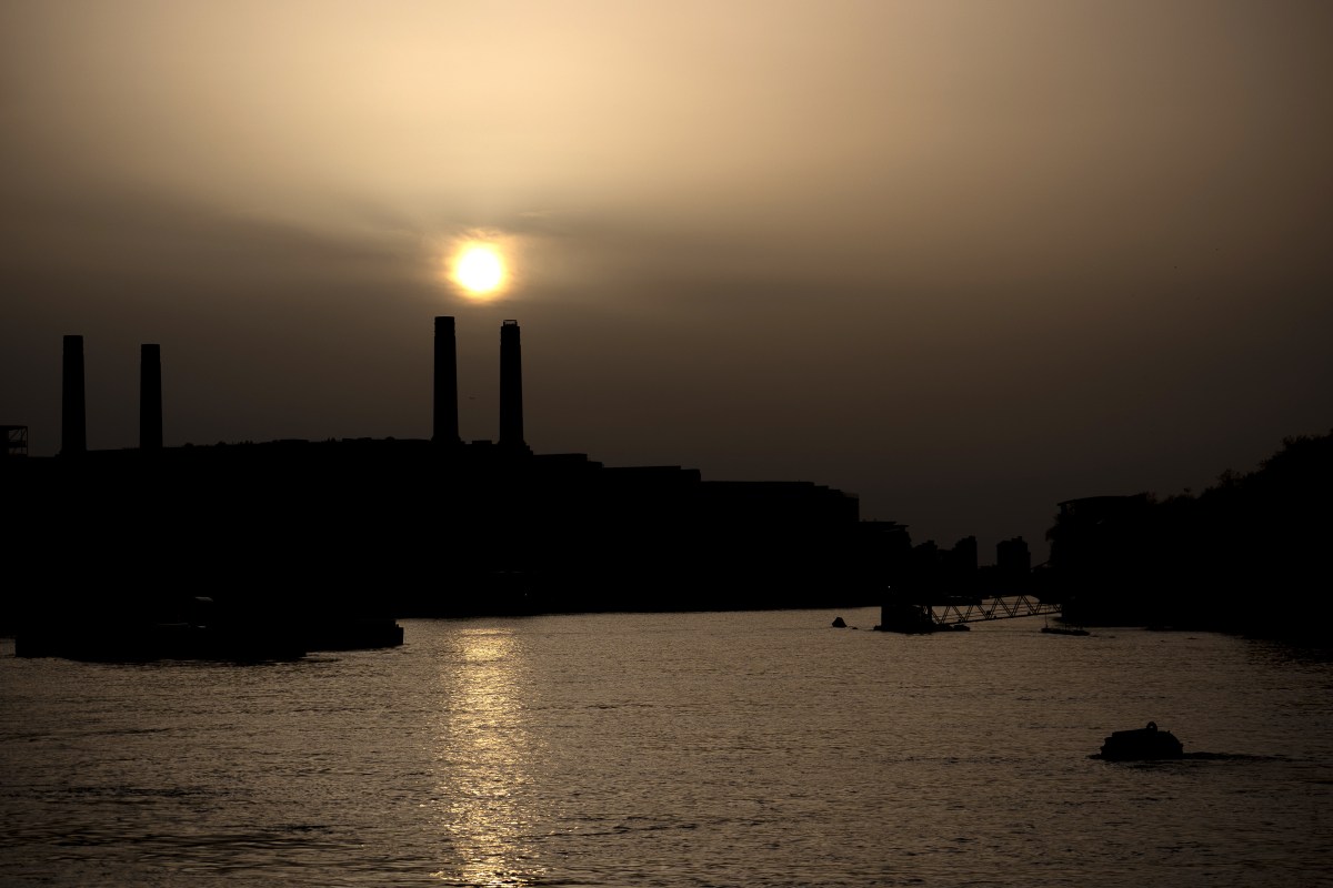
- The dust causes hazy or milky skies and can create bright red and orange sunsets.
- People with asthma, allergies, or lung issues may experience worsened symptoms and are advised to limit outdoor activities.
- The dry, warm air of the Saharan Air Layer can reduce the chance of hurricanes forming by making storm conditions less favorable.
- The dust concentrations weaken as they travel west, but enough remains to impact air quality and weather patterns.
Read the Full Article
This is a fact-based summary from The Actual News. Click below to read the complete story directly from the original source.