Wildfire Smoke Map, Live Tracker as Air Quality Warnings Issued
Summary
Smoke from wildfires in Canada is spreading across many U.S. states, causing warnings about unhealthy air quality. Officials and health experts advise people to check air quality reports regularly and take steps to protect their health, especially if they belong to sensitive groups.Key Facts
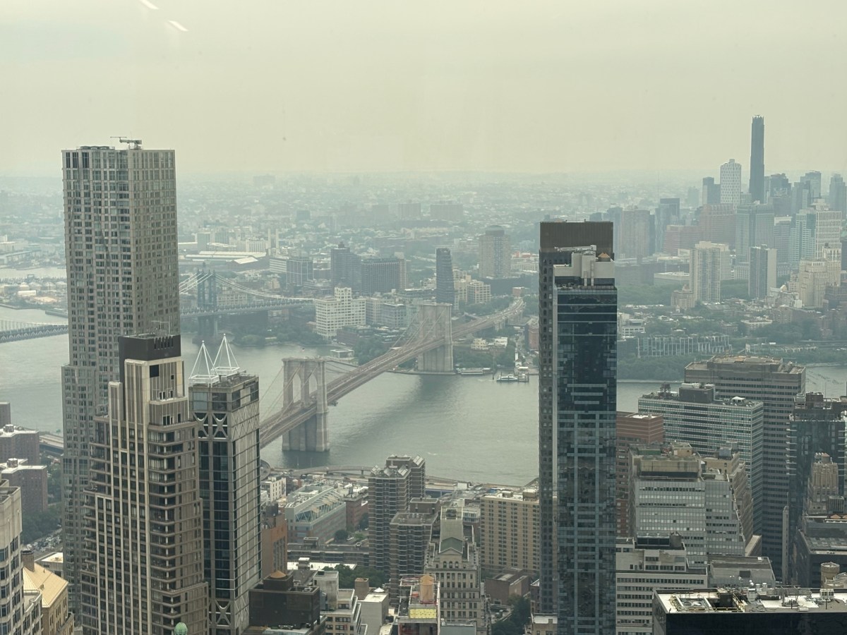
- Smoke from Canadian wildfires is affecting air quality from Minnesota and Wisconsin to New York and New England.
- The worst pollution is in the Great Lakes region, including Detroit, Minneapolis, and Chicago.
- Fine particles called PM2.5 from the smoke can enter lungs and bloodstream, increasing health risks.
- Air quality warnings have been issued to advise people to limit outdoor activities.
- Officials suggest using N95 masks outdoors when smoke levels are high.
- People with asthma, heart disease, or other health conditions should take extra care.
- Real-time air quality maps are available online from sources like windy.com and the EPA's AirNow website.
- Symptoms from smoke exposure can include coughing, wheezing, headaches, and eye irritation; severe symptoms require medical attention.
Read the Full Article
This is a fact-based summary from The Actual News. Click below to read the complete story directly from the original source.