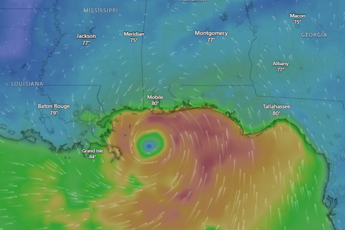
Tropical Storm Bertha: Live Tracker Maps Show Impacts on Southern US
Summary
Tropical Storm Bertha has formed in the northern Gulf of Mexico and is moving westward toward the northern Gulf Coast. The National Hurricane Center warns it could bring flooding, strong winds, and dangerous surf conditions from Florida to Louisiana and possibly Texas over the next few days.Key Facts
- Tropical Depression Two strengthened into Tropical Storm Bertha, the second named storm of the 2026 Atlantic hurricane season.
- Bertha is moving west at about 5 mph and expected to continue that way through Friday.
- Maximum sustained winds near 50 mph with higher gusts; gradual weakening expected.
- Tropical storm conditions are forecast from the Florida Panhandle to southeastern Louisiana, including New Orleans.
- Coastal flood warnings are in effect for Louisiana and Mississippi with moderate flooding expected.
- Storm surge could raise water levels 1 to 4 feet above normal in some coastal areas if coinciding with high tide.
- Rainfall of 1 to 4 inches expected, with some areas possibly getting up to 6 inches, risking flash flooding.
- Dangerous surf and rip currents will affect the northern Gulf Coast over the next several days.
Read the Full Article
This is a fact-based summary from The Actual News. Click below to read the complete story directly from the original source.