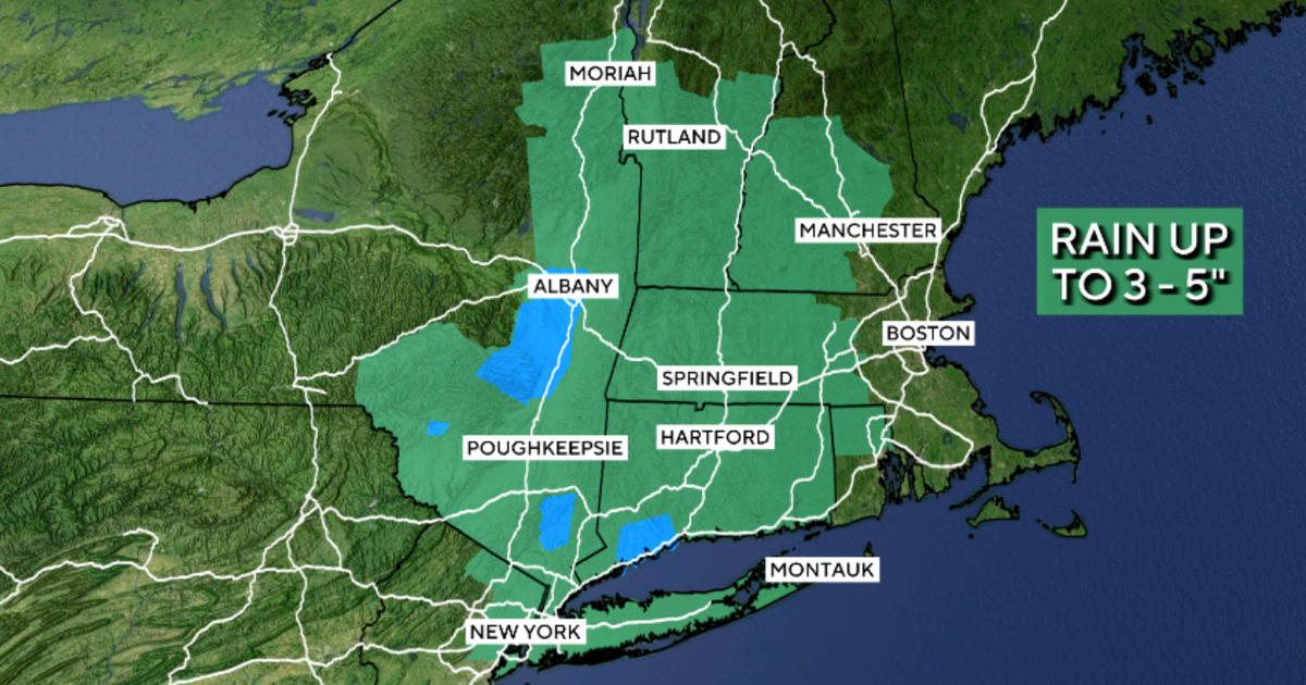
Maps show where heavy rainfall poses flood risks across Northeast
Summary
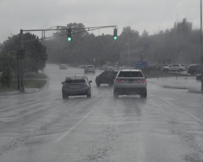
A big storm is bringing heavy rain and flood risks to parts of the northeastern United States, including cities like New York City, Boston, and Albany. The National Weather Service has issued flood watches and warnings for these areas as rain may cause rivers and streams to overflow and lead to flooding.Key Facts
- Over 10 million people in the Northeast are under flood alerts.
- Flood watches cover parts of New York, Connecticut, Massachusetts, New Hampshire, and Vermont until Wednesday night or Thursday afternoon.
- Cities at risk include New York City, Boston, Hartford, Portland, and Albany.
- Albany received more than 6 inches of rain, the highest amount in the region during this storm.
- Forecasters expect up to 2 more inches of rain, with total rainfall between 2-5 inches possible in parts of New England.
- Flash flood warnings were issued, especially in Albany, Hartford, and Springfield.
- Flooding may occur in low areas, near rivers, creeks, and places with poor drainage.
- Weather officials advise people in flood-prone areas to stay alert and be ready to act if flooding happens.
Read the Full Article
This is a fact-based summary from The Actual News. Click below to read the complete story directly from the original source.