US government map of Africa mislabels every country at global conference
Summary
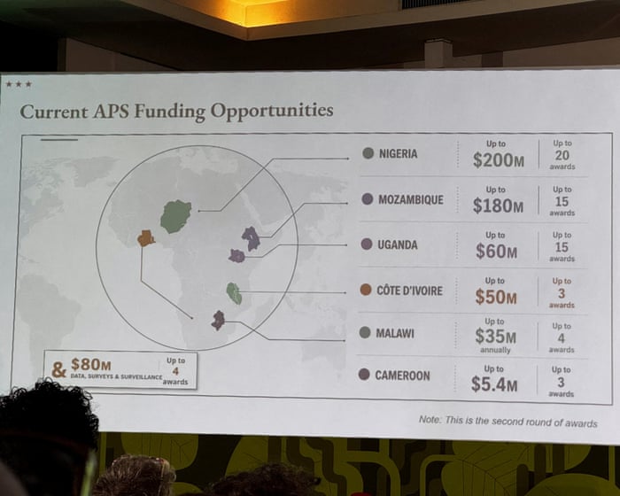
The US State Department showed a map of Africa at a global conference that mislabeled every country, causing confusion. The department said it was a mistake made by a team member and took full responsibility.Key Facts
- The map mislabeled every African country during a presentation at the Aids 2026 conference in Brazil.
- The map appeared to be created using artificial intelligence tools from OpenAI.
- Nigeria was shown as landlocked in the Sahara desert instead of its correct location.
- Mozambique and Côte d’Ivoire were placed far from their actual regions.
- The State Department admitted the error and apologized to attendees and African partners.
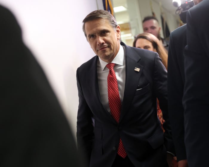
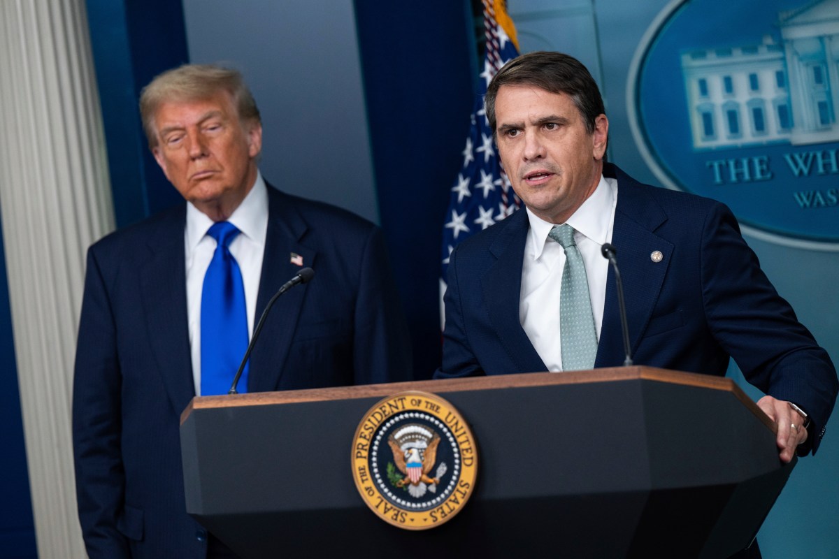
- The presentation was by Jeff Graham, who leads the President’s Emergency Plan for Aids Relief (Pepfar).
- Despite the map mistake, the conference discussions were described as productive.
- The US is reducing some Pepfar funding and plans to end the program in South Africa, while continuing core work like providing life-saving drugs.
Read the Full Article
This is a fact-based summary from The Actual News. Click below to read the complete story directly from the original source.