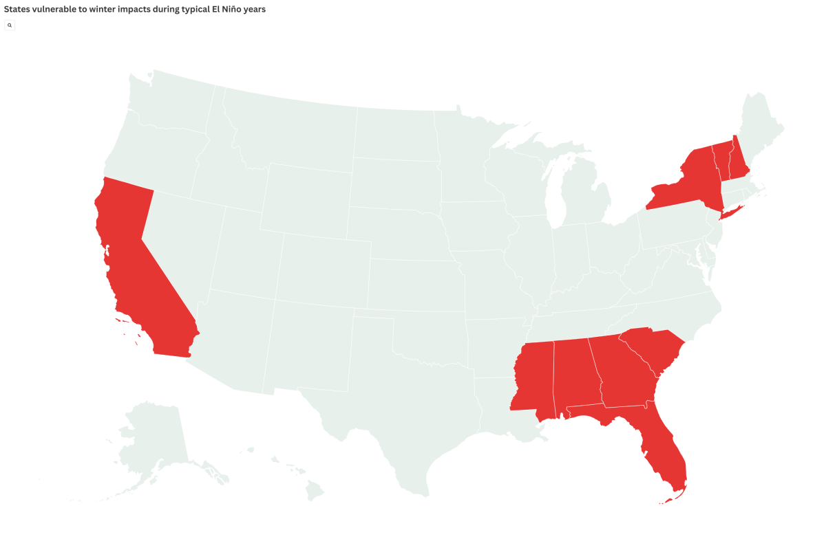
Super El Niño Threat Grows: Map Shows At-Risk States This Winter
Summary
Scientists predict that the El Niño climate pattern in the Pacific Ocean will strengthen significantly in late 2026, possibly becoming one of the strongest events recorded. This weather pattern causes warmer ocean temperatures and alters global weather, often bringing wetter winters to the southern United States and warmer conditions to northern states.Key Facts
- El Niño happens when ocean surface temperatures in the tropical Pacific rise above average.
- A "super" El Niño is an unusually strong event with temperature increases above 2 degrees Celsius.
- NOAA says El Niño conditions are already present and will likely get stronger through 2026.
- There is an 81% chance of a very strong El Niño forming between October and December 2026.
- This event can change weather patterns worldwide by moving storm paths and jet streams.
- In the U.S., El Niño usually means more rainfall in the South and warmer winters in the North.
- NOAA forecasts a 97% chance that El Niño will continue into early spring 2027.
- Exact regional weather impacts for this winter are not yet confirmed and will be clearer in October.
Read the Full Article
This is a fact-based summary from The Actual News. Click below to read the complete story directly from the original source.