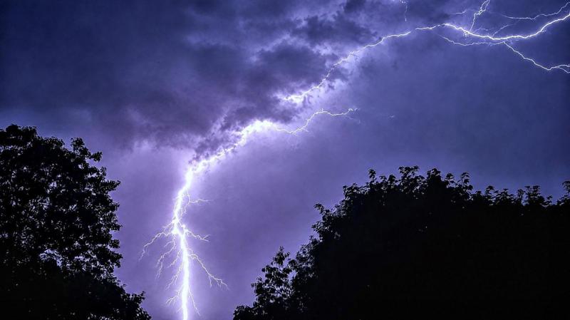
Thunderstorms and flash flood risk on final day of UK heatwave
Summary
The UK is experiencing a heatwave with temperatures above 30°C in parts of southern and eastern England. Thunderstorms and a risk of flash flooding and hail are expected on the final day of the heatwave, especially in northern regions, but rain is unlikely to end the ongoing drought.Key Facts
- Parts of Worcestershire and Suffolk have seen three days of heatwave-level temperatures.
- Heat health alerts are in place across much of England until Wednesday morning.
- A cold front will move across the Midlands and southeast England on Tuesday but will bring little rainfall.
- Northern Ireland faces a yellow thunderstorm warning with possible heavy rain, strong winds, and hail.
- Flash flooding risk is high due to dry, hard ground that prevents water absorption.
- Hail may occur during intense thunderstorms caused by the heatwave conditions.
- July was the UK's driest and sunniest month on record, contributing to the drought.
- Low rainfall and above-average temperatures are expected to continue into August.
Read the Full Article
This is a fact-based summary from The Actual News. Click below to read the complete story directly from the original source.