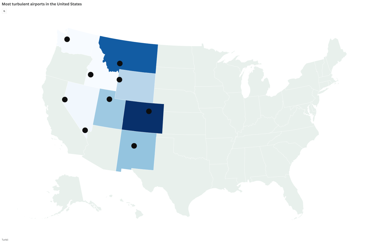
Map of America's Most Turbulent Flights as New Tool Aims to Smooth Travel
Summary
The National Weather Service's Aviation Weather Center has introduced a new tool called the Graphical Turbulence Guidance Nowcast (GTGN) to help pilots detect turbulence more accurately and quickly during flights. This system updates every 15 minutes, giving real-time information that can help pilots avoid rough air and potentially make flights smoother and safer.Key Facts
- GTGN is a new turbulence forecasting tool launched on July 30 by the National Weather Service's Aviation Weather Center.
- It updates every 15 minutes and covers altitudes from 100 feet to 50,000 feet.
- The tool combines real-time aircraft data with weather and atmospheric information.
- It helps pilots find turbulence areas that traditional models might miss.
- The project was developed with support from the FAA, National Center for Atmospheric Research, and Colorado State University.
- Turbulence causes shaking or sudden altitude changes and is common in areas like the Rocky Mountains due to weather and terrain.
- The tool complements existing forecasts by providing more frequent, detailed updates while flights are underway.
- Turbli uses Eddy Dissipation Rate (EDR) to measure turbulence intensity, ranging from light to extreme levels.
Read the Full Article
This is a fact-based summary from The Actual News. Click below to read the complete story directly from the original source.