Super El Niño Chances Rise as Record Strengths Predicted
Summary
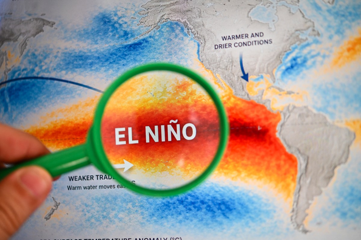
El Niño, a climate pattern causing warm ocean temperatures in the Pacific, is getting stronger and might reach a very high level called "super El Niño" later this year. This could lead to noticeable weather changes for many places, with effects lasting until 2027.Key Facts
- El Niño is a natural climate event linked to warmer Pacific Ocean waters and changes in weather worldwide.
- A "super El Niño" means ocean temperatures are more than 2 degrees Celsius above normal, which is rare.
- Forecasters say there is over a 90% chance that this year’s El Niño will become a "super" event by the end of the Atlantic hurricane season (November).
- Strong El Niño can reduce the number and strength of hurricanes in the Atlantic by increasing wind shear, which disrupts storms.
- Current water temperatures in the Pacific are about 1.5 degrees Celsius above average.
- For a "super El Niño" official label, temperatures need to stay 2 degrees above average for at least three months.
- The Climate Prediction Center predicts El Niño will remain strong through early 2027, with an 81% chance it will be very strong from October to December 2026.
- Past "super El Niño" events often shift quickly back to neutral or cooler conditions after they peak.
Read the Full Article
This is a fact-based summary from The Actual News. Click below to read the complete story directly from the original source.