Spokane Fire, Air Quality Live Tracker Maps as New Warning Issued
Summary
Large wildfires near Spokane, Washington, have burned more than 10,000 acres and destroyed many homes, forcing tens of thousands of people to leave their neighborhoods. The National Weather Service warned that dry, windy, and hot conditions could cause the fires to spread quickly, while air quality remains very unhealthy due to smoke.Key Facts
- The Spokane-area wildfires include the Old Trails Fire, Autumn Lane Fire, and Fairview Fire.
- Over 900 structures have been destroyed: 694 in the Old Trails Fire, 160 in the Autumn Lane Fire, and 59 in the Fairview Fire.
- About 10,000 acres have burned in total.
- Tens of thousands of residents have evacuated due to the fires.
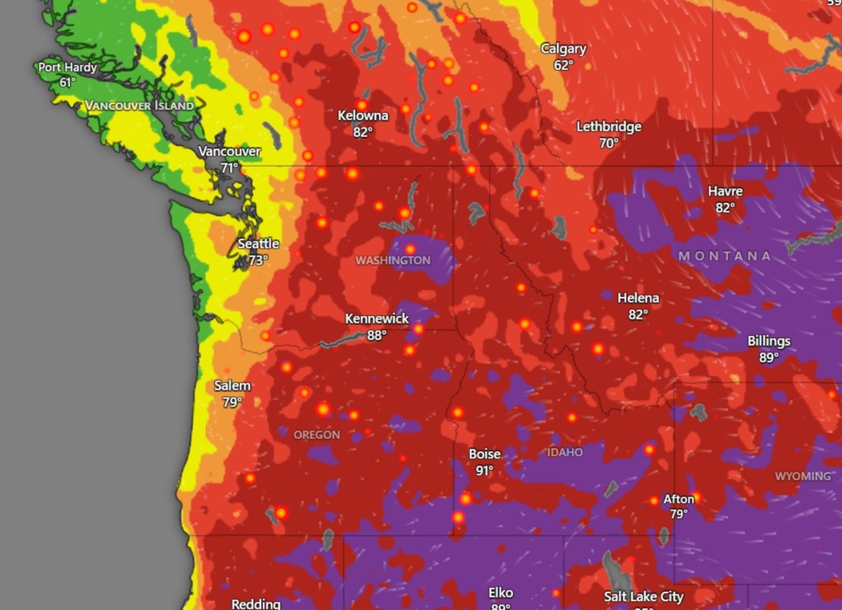
- The National Weather Service issued a Fire Weather Watch warning of strong winds (10-20 mph, gusts up to 25 mph), low humidity (10-18%), and high temperatures (90-100°F) that could fuel fire growth.
- Fire containment is still low but improving: Old Trails Fire is 5% contained, Autumn Lane Fire 13%, and Fairview Fire 13%.
- Air quality is very unhealthy from heavy smoke, prompting officials to advise people to stay indoors and use air filters.
- Weather maps show ongoing conditions could make firefighting harder and increase fire risk.
Read the Full Article
This is a fact-based summary from The Actual News. Click below to read the complete story directly from the original source.