El Niño Could Be Strongest on Record: How 2026 Compares
Summary
Federal forecasters say there is a very high chance that the El Niño weather pattern will become very strong in late 2026 and early 2027. This event could be the strongest on record, affecting weather patterns worldwide, including wetter conditions in the southern U.S. and warmer, drier areas in the north.Key Facts
- The National Oceanic and Atmospheric Administration (NOAA) says there is over a 90% chance El Niño will be very strong in fall and winter 2026–27.
- There is a 69% chance it could be the strongest El Niño since records began in 1950.
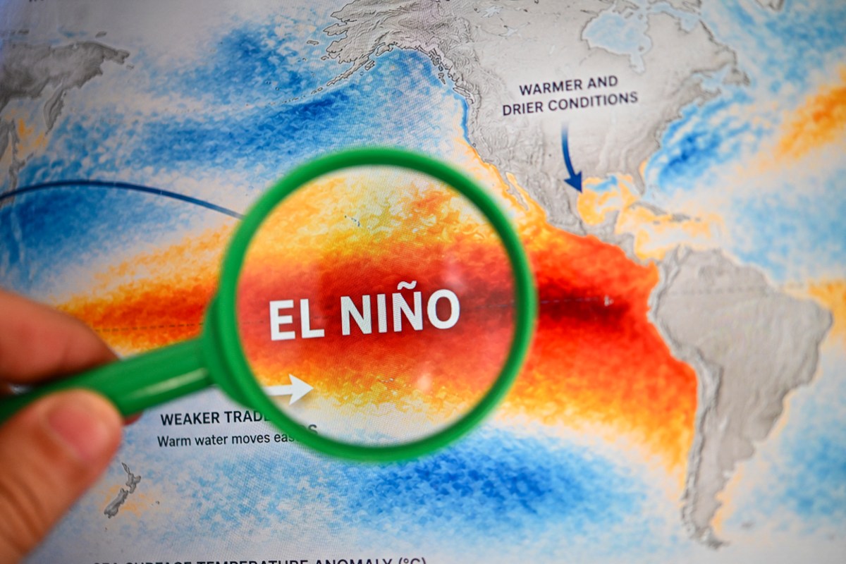
- El Niño is a climate pattern where the Pacific Ocean’s surface water becomes warmer than usual, influencing global weather.
- Past strong El Niños in 1982–83, 1997–98, and 2015–16 caused heavy rain, flooding, droughts, and changes in hurricane activity.
- The 2015–16 El Niño caused droughts in places like the Caribbean and Ethiopia, as well as record global surface temperatures.
- Weather impacts can vary; for example, 2015–16 brought dryer conditions to California but wetter weather in the Pacific Northwest.
- Scientists expect wetter weather in much of the southern United States during the cool months and fewer named Atlantic storms in 2026–27.
- El Niño’s strongest effects usually happen from October through March, especially increasing rain from Texas to Florida.
Read the Full Article
This is a fact-based summary from The Actual News. Click below to read the complete story directly from the original source.