Map Shows DC Freedom 250 Grand Prix Route, Closed Roads and Sites Impacted
Summary
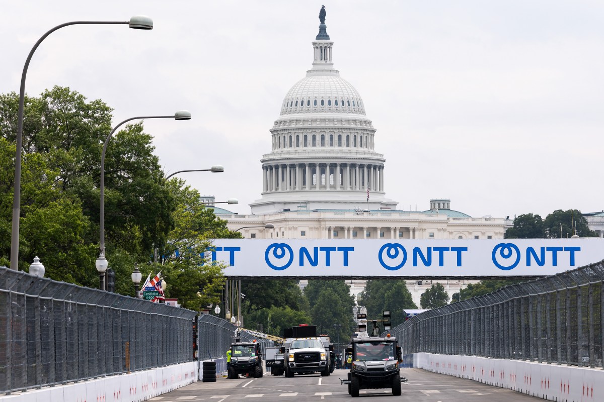
Washington, D.C. has turned part of the National Mall and nearby streets into a racetrack for the first-ever Freedom 250 Grand Prix IndyCar race, which will cover 250 miles over 147 laps. Many streets and popular museums around the area are closed or have restricted access, and officials urge people to use public transportation during the weekend event.Key Facts
- The Freedom 250 Grand Prix route is 1.7 miles long with seven turns, looping around the National Mall and U.S. Capitol.
- The race will cover 147 laps, totaling 250 miles, as part of America’s 250th anniversary celebrations.
- Streets used in the race include Pennsylvania Avenue, Constitution Avenue, Independence Avenue, and parts of 3rd, 7th, and 9th streets, plus a larger area with road closures.
- Access to the National Air and Space Museum, National Museum of the American Indian, National Museum of Natural History, and National Gallery of Art is limited or requires event tickets.
- Some outdoor sculptures near the National Gallery of Art were boarded up to prevent damage from race vibrations.
- Nearby landmarks such as the National Archives and Smithsonian Castle are also affected, and certain Metro stations serve as main entry points to the restricted area.
- City officials encourage visitors and residents to avoid driving downtown and to use Metro trains instead.
- Reactions from locals are mixed; some see the event as boosting tourism and jobs, while others report difficulties navigating due to fences and road closures.
Read the Full Article
This is a fact-based summary from The Actual News. Click below to read the complete story directly from the original source.