Severe weather, flooding threat heading to Northeast: Forecast
Summary
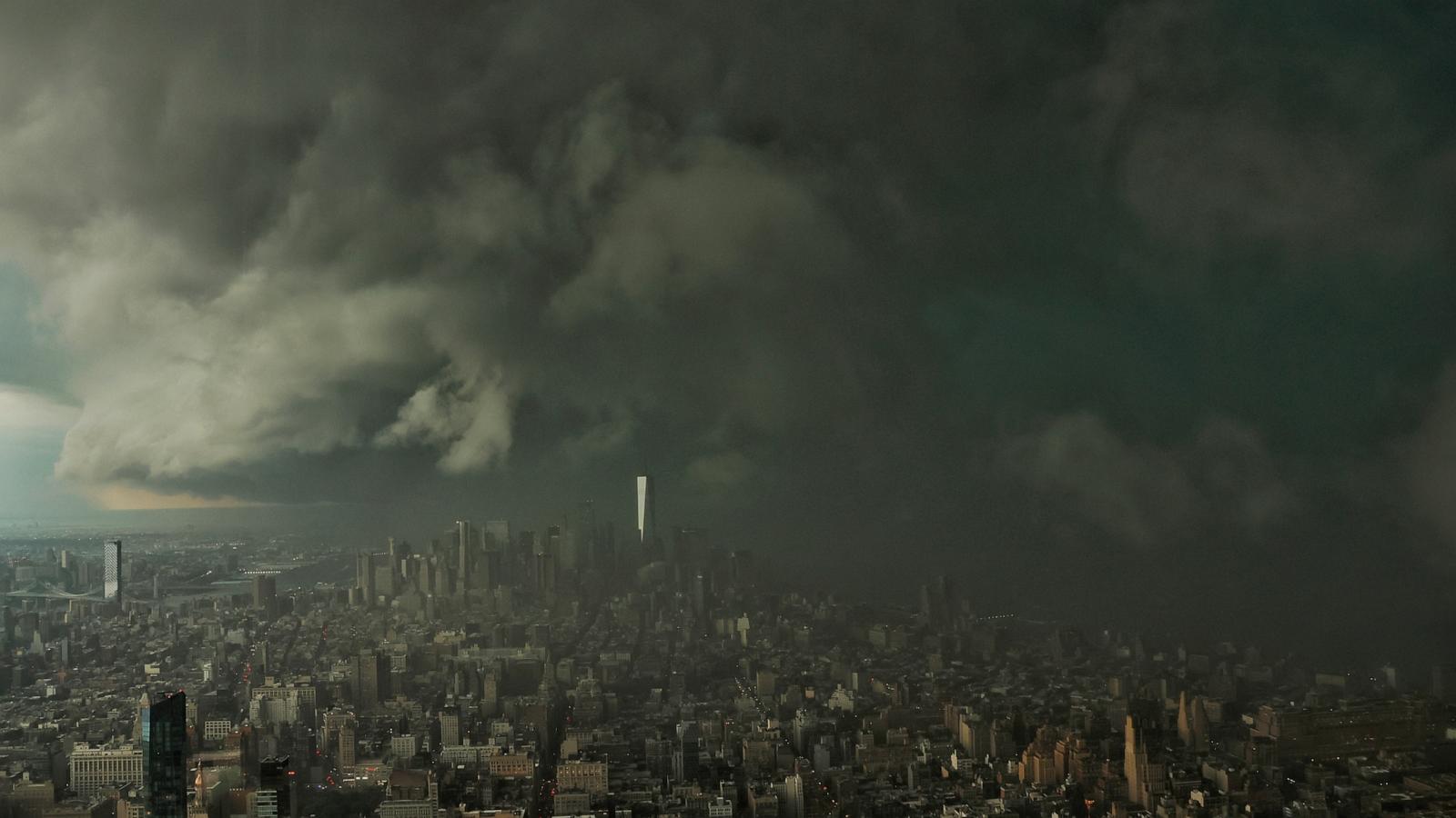
Severe thunderstorms are expected to hit the Northeast U.S. on Thursday, affecting over 38 million people from New York City to Washington, D.C. The storms could cause heavy rain, flash flooding, strong winds, large hail, and possible tornadoes, with rainfall rates up to 2 inches per hour and totals reaching 5 inches in some places.Key Facts
- The severe weather threat covers an area from Syracuse, New York, and Vermont down to Virginia.
- Heavy thunderstorms may produce rainfall rates exceeding 2 inches per hour.
- Total rainfall could reach up to 5 inches in some affected areas.
- Storms are expected to start around 1 p.m. and continue in scattered showers through the afternoon and evening.
- New York City is expected to experience the worst weather between 1 p.m. and 5 p.m.
- Philadelphia and Washington, D.C. are likely to see the storms from 5 p.m. to 8 p.m.
- A flood watch is in effect for New York City, the Hudson Valley, much of New Jersey, and Philadelphia from noon through the evening.
- The severe weather poses risks such as flash flooding, damaging winds, large hail, and possible tornadoes.
Read the Full Article
This is a fact-based summary from The Actual News. Click below to read the complete story directly from the original source.