How Super El Niño Forecasts Have Changed as States Face Increased Threat
Summary
Forecasters now believe there is more than a 90% chance that the current El Niño will become very strong during the fall and winter seasons. Since March, predictions have changed a lot, showing the event is growing and may be the strongest since records began in 1950.Key Facts
- El Niño is a climate pattern that warms the Pacific Ocean and affects weather worldwide.
- In March, forecasters were uncertain about how strong this El Niño would be.
- By June, El Niño conditions had developed and were expected to strengthen.
- The chance of a very strong El Niño in fall and winter rose from 33% in March to over 90% by August.
- A "super El Niño" means an exceptionally strong event, but this is not an official NOAA term.
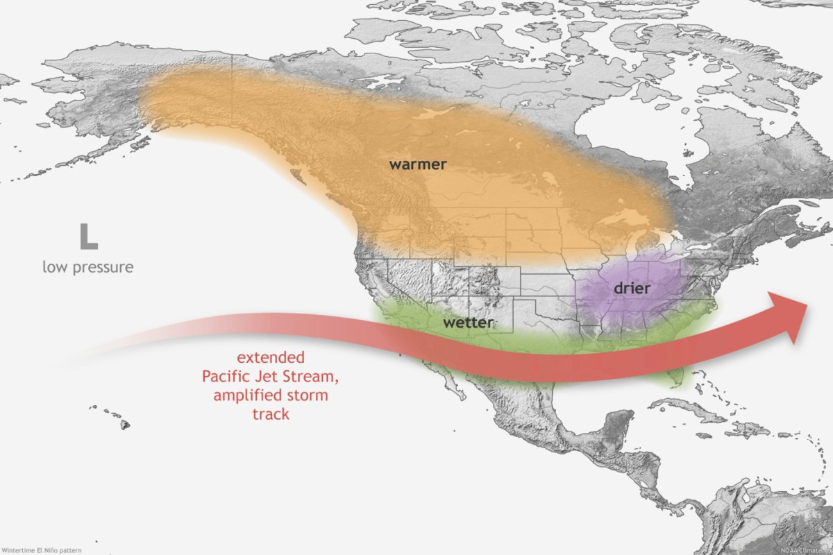
- Strong El Niño events can cause more storms in the southern U.S., drier weather in some northern areas, and changes in hurricanes.
- NOAA’s Climate Prediction Center updates forecasts regularly as new data come in.
- This El Niño could be the strongest recorded since 1950 during October to December.
Read the Full Article
This is a fact-based summary from The Actual News. Click below to read the complete story directly from the original source.