U.N. Votes on Major Change to World Map: How Different Versions Compare
Summary
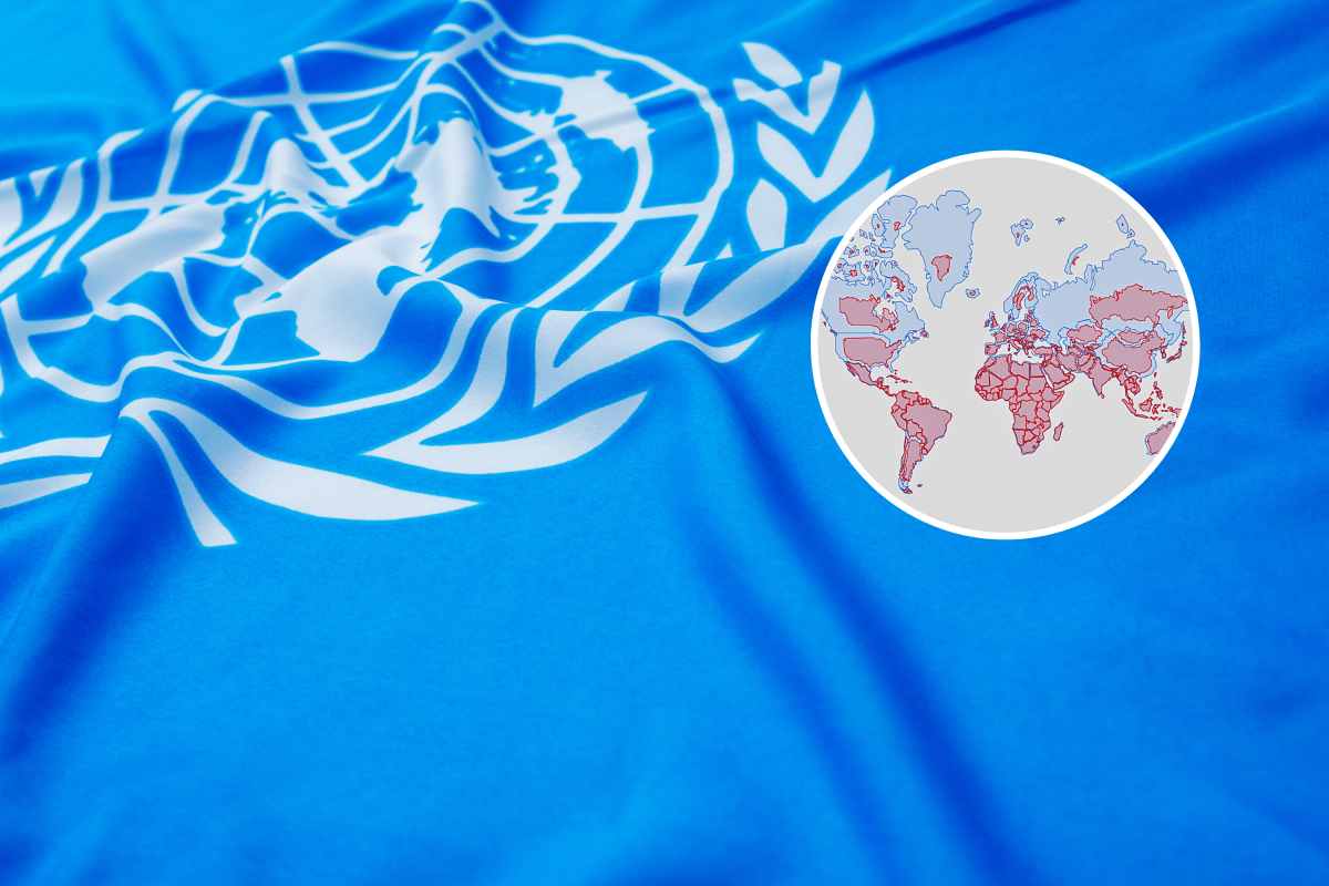
The United Nations General Assembly is set to vote on a resolution supporting the use of the Equal Earth map, which shows countries and continents in correct sizes relative to each other. This effort, led by Togo with backing from the African Union, aims to replace the widely used Mercator map, which distorts the size of regions near the poles and makes places like Africa appear smaller than they really are.Key Facts
- The UN vote will promote the Equal Earth projection and other maps that keep country sizes accurate.
- Togo introduced the resolution with support from the African Union and the #CorrectTheMap campaign.
- The Mercator projection enlarges areas near the North and South Poles, making places like Europe, Greenland, and North America look bigger.
- Africa is often shown smaller than reality on Mercator maps, despite being much larger than Greenland.
- Equal Earth, created in 2018, keeps land areas proportional and tries to look similar to a globe.
- The Mercator map was originally designed to help sailors navigate by keeping compass directions straight.
- The resolution encourages governments, schools, and companies to use maps with accurate size representation but does not ban Mercator maps.
- Togo’s foreign minister said maps influence how people understand the world and that this change is about showing reality, not giving Africa special treatment.
Read the Full Article
This is a fact-based summary from The Actual News. Click below to read the complete story directly from the original source.