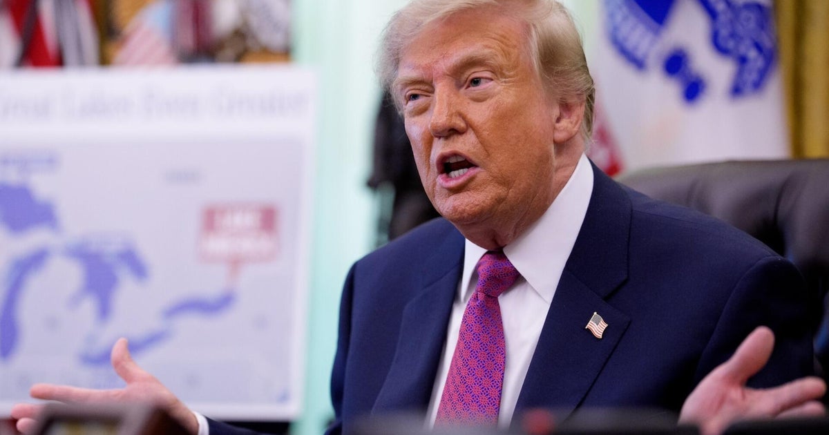
Trump’s map-making on social media stirs controversy in North Atlantic
Summary
President Donald Trump posted a social media map showing the U.S. stretching across North America, including Greenland and Iceland. This caused concern in Denmark and Iceland, where officials criticized the idea and took diplomatic actions.Key Facts
- President Trump shared a map with U.S. colors covering all of North America, Greenland, and Iceland on Truth Social.
- The post came without explanation but echoes his past ideas about adding Canada as a U.S. state and acquiring Greenland.
- Denmark’s Foreign Minister called the map “inappropriate” and said it shows Trump’s broad territorial ideas.
- Iceland’s Foreign and Defense Secretary summoned the U.S. Ambassador over the issue.
- Trump mistakenly mentioned Iceland multiple times when talking about Greenland, causing confusion.
- Iceland’s government moved up a referendum on joining the European Union partly due to these tensions.
- Thousands of Icelanders petitioned against the U.S. Ambassador after his joke about Iceland becoming a U.S. state.
- Trump has also talked about turning Canada into a state and renamed Lake Ontario “Lake America” online.
Read the Full Article
This is a fact-based summary from The Actual News. Click below to read the complete story directly from the original source.