Popular navigation apps unlikely to ditch Mercator maps despite UN resolution
Summary
The United Nations General Assembly passed a resolution encouraging the use of world maps that show continents in their true size instead of the traditional Mercator maps, which distort landmass sizes. Despite this, popular navigation apps like Google Maps and Apple Maps are unlikely to switch from the Mercator projection because it is practical for maritime navigation.Key Facts
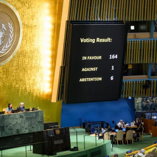
- The UN resolution promoting more accurate world maps was supported by 164 countries; six abstained, and only the United States opposed it.
- The resolution is non-binding, meaning no one has to change their maps, but it encourages governments and companies to adopt maps like the Equal Earth projection.
- The Mercator map, created in 1569, shows straight lines useful for sea navigation but makes landmasses near the poles appear much larger than they really are.
- For example, Africa is about 14 times bigger than Greenland, but the Mercator map makes them look nearly the same size.
- Popular navigation apps, including Google Maps with over 2 billion monthly users, still rely on the Mercator projection.
- The Equal Earth map projection, created in 2018, shows landmasses in correct size but distorts their shapes.
- Research shows that people who use maps with less size distortion estimate country sizes more accurately.
- Distorted maps like Mercator can influence public views and even political decisions, such as opinions about the Trump administration’s interest in buying Greenland.
Read the Full Article
This is a fact-based summary from The Actual News. Click below to read the complete story directly from the original source.