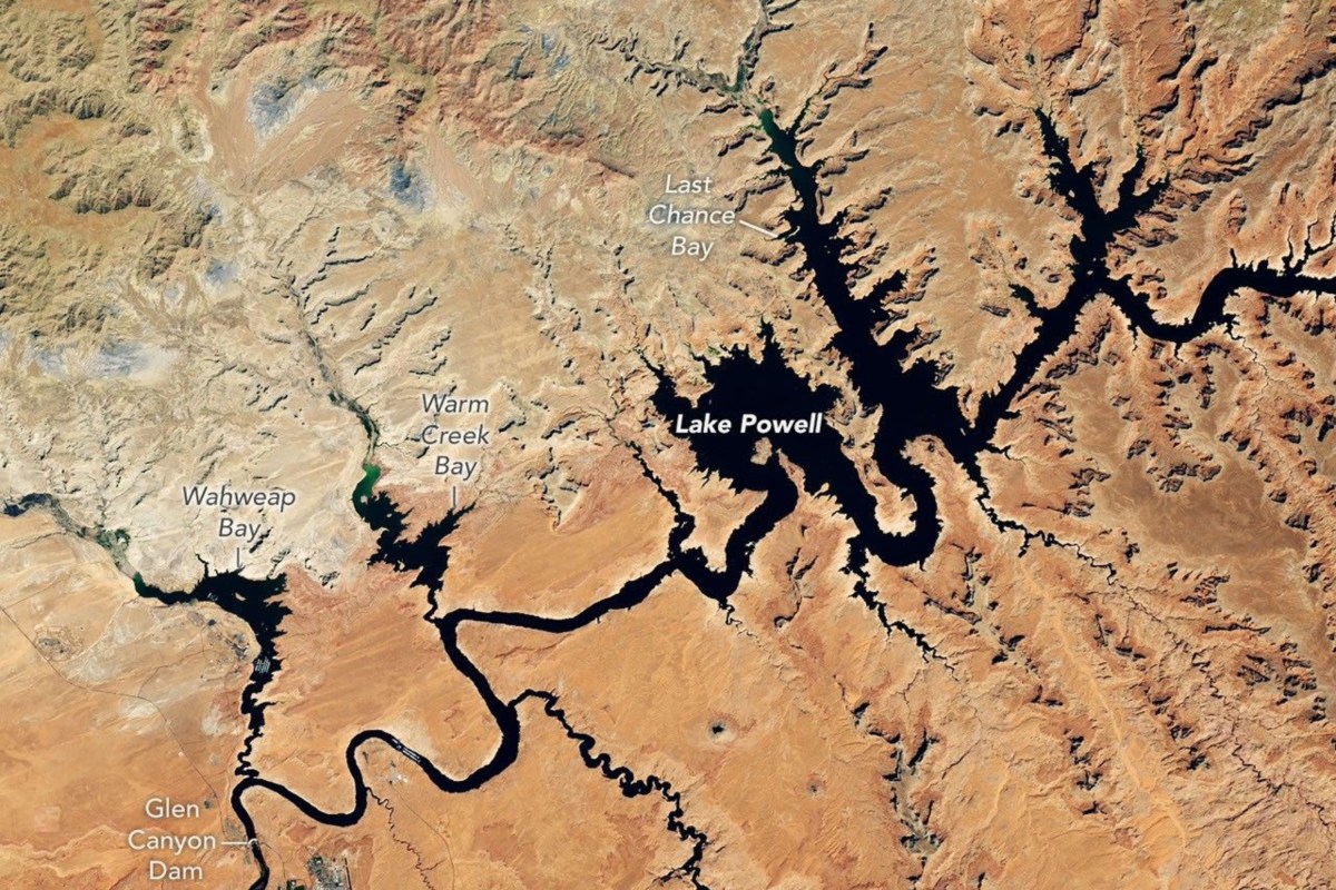
Satellite Images Show How Lake Powell Has Drained to Record Low in 9 Years
Summary
Satellite images show that Lake Powell, a large reservoir on the Colorado River, has dropped to its lowest water level in nine years due to ongoing drought. The lake's water level fell below its previous record low in 2023, raising concerns about water supply and hydropower production for the seven states and Mexico that depend on the river.Key Facts
- Lake Powell is the second-largest reservoir in the U.S. and sits on the Colorado River.
- The Colorado River supports seven U.S. states (Arizona, California, Colorado, Nevada, New Mexico, Utah, Wyoming) and Mexico.
- Satellite images compare water levels from 2017 and 2026, showing a significant drop in Lake Powell's water.
- The lake's water level was 3,517.24 feet in September 2026, below the previous low set in April 2023.
- Lake Mead, the largest reservoir in the U.S., also reached record-low levels around the same time.
- A 2025-2026 winter with very low snow caused reduced water flow into these reservoirs.
- Federal water managers have taken steps such as releasing water from upstream reservoirs to support Lake Powell.
- Projections suggest Lake Powell's water level might rise about 40 feet by 2028, but Lake Mead's level may fall by a similar amount.
Read the Full Article
This is a fact-based summary from The Actual News. Click below to read the complete story directly from the original source.