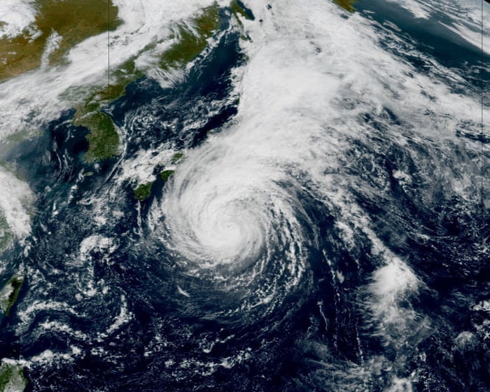
Weather tracker: Japanese islands brace for Dujuan to become a typhoon again
Summary
Tropical Storm Dujuan is moving near Japan’s coast and could become a typhoon again by Tuesday with strong winds and heavy rain. The Izu Islands have evacuation warnings due to the threat of flooding, landslides, and high waves.Key Facts
- Dujuan briefly became a typhoon on Friday but weakened back to a tropical storm on Sunday.
- It is expected to regain typhoon strength by Tuesday morning with winds up to 80 mph and gusts near 100 mph.
- The storm is moving near Japan but is not forecast to make direct landfall on the mainland.
- Evacuation warnings are in place for the Izu Islands.
- Heavy rain, flooding, and landslide alerts cover many coastal regions, especially in southern Chubu and Kanto.
- Some areas could see nearly a month’s worth of rain in just one day.
- Dujuan will move northeast and weaken over the northwest Pacific later this week.
- Meanwhile, a quiet Atlantic hurricane season continues, with Tropical Storm Fay unlikely to get stronger.
Read the Full Article
This is a fact-based summary from The Actual News. Click below to read the complete story directly from the original source.