First map of U.S. Mason-Dixon Line going up for auction
Summary
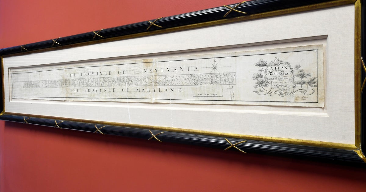
A hand-drawn survey of the Mason-Dixon Line is scheduled to go up for auction in a livestreamed sale on Thursday. Brunk Auctions estimates the map will sell for $800,000 to $1.2 million; it was originally made to settle a border dispute between Maryland and Pennsylvania and later became associated with the division between free and slave states.Key Facts
- Charles Mason and Jeremiah Dixon drew the survey between 1767 and 1768.
- The map is a linen-backed strip of paper measuring 76 inches long and 6.5 inches tall.
- The survey was originally intended to settle a border dispute between Maryland and Pennsylvania.
- The Mason-Dixon Line later became associated with the boundary between free and slave states.
- The map remained with the family of attorney Benjamin Chew until 1982.
- Malcolm S. Forbes bought the map in 1982 for $360,000, outbidding the Library of Congress.
- The map changed hands again in 2002.
- The Library of Congress said it is not currently in a position to buy the map.
Read the Full Article
This is a fact-based summary from The Actual News. Click below to read the complete story directly from the original source.