Map Shows Florida Counties Under State of Emergency Amid Historic Flooding
Summary
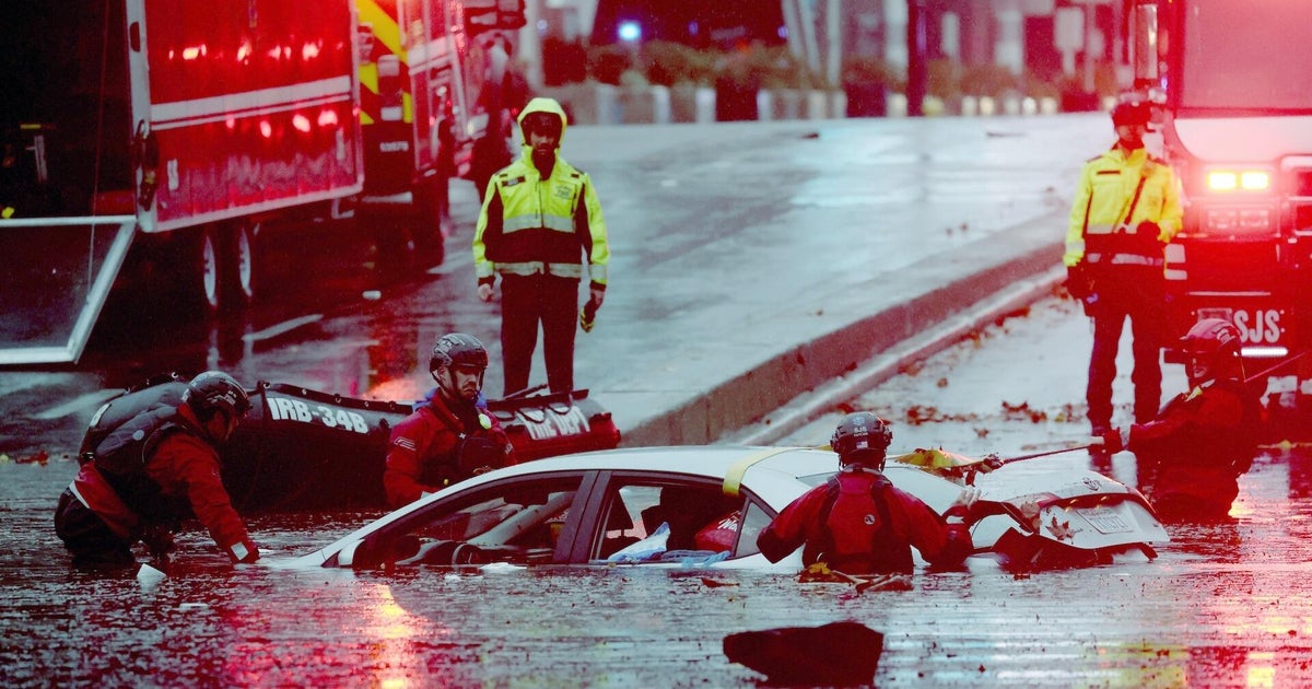
Florida Governor Ron DeSantis expanded the state of emergency to 21 counties as heavy rain and flooding affected much of the state. The emergency response includes National Guard personnel, flood-control equipment and shelters on standby, while forecasters expect more rain and flood risks.Key Facts
- The expanded emergency covers Broward, Duval, Flagler, Miami-Dade, Monroe, Putnam and St. Johns counties.
- The state of emergency now covers 21 counties and an estimated 11.24 million people.
- DeSantis first declared the emergency on November 2 and expanded it twice afterward.
- Flooding has prompted closures of schools, parks, libraries and government buildings.
- Florida has deployed hundreds of National Guard members, state guard members and other emergency personnel.
- The state has prepared more than 6,000 feet of flood-control devices and placed shelters on standby.
- Some South Florida locations received more than 12 inches of rain over two days.
- Forecasters expected additional rain, with some parts of Florida's east coast forecast to receive up to 10 inches.
Read the Full Article
This is a fact-based summary from The Actual News. Click below to read the complete story directly from the original source.