Summary
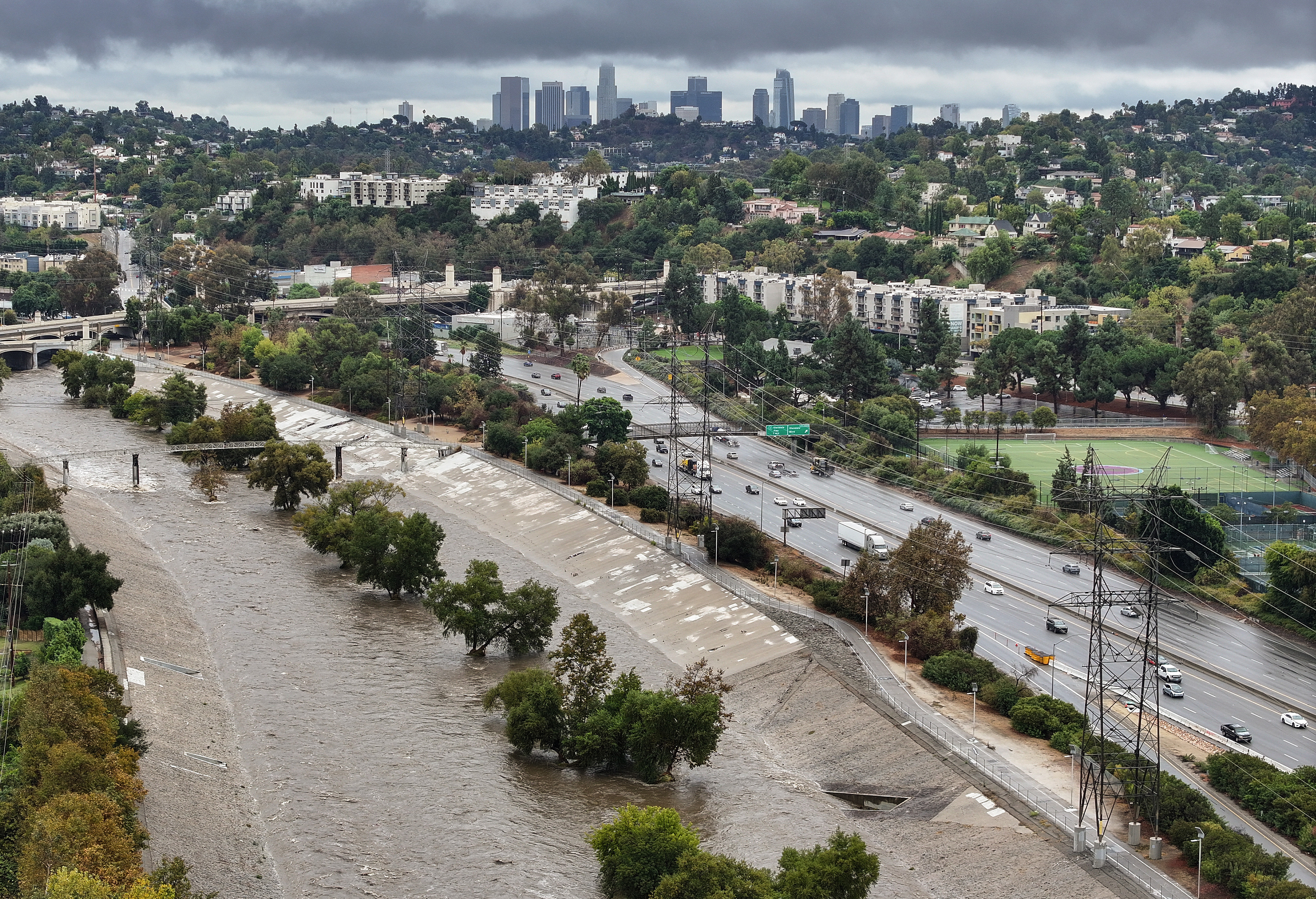
Millions in Southern California are at risk of flooding due to a powerful storm called an atmospheric river. Evacuation orders have been issued for areas near recent fire zones because of the increased risk of floods and mudslides. These orders affect many residents across Los Angeles and nearby counties.
Key Facts
- An atmospheric river is bringing heavy rain to Southern California, increasing flood risks.
- Areas near recent burn scars are at the highest risk because fires make it harder for soil to absorb water.
- Los Angeles County officials issued evacuation orders for homes at risk of mudslides and flooding.
- Cities under flood watch include Los Angeles, San Diego, Santa Barbara, Long Beach, and Malibu.
- The National Weather Service warns of life-threatening rain, with a break in weather expected between Friday afternoon and early Saturday morning.
- The flood watch is expected to last through at least Saturday evening.
- People in the affected areas are advised to follow all instructions from local emergency officials.