Satellite Photos Capture Volcanic Eruption From Space
Summary
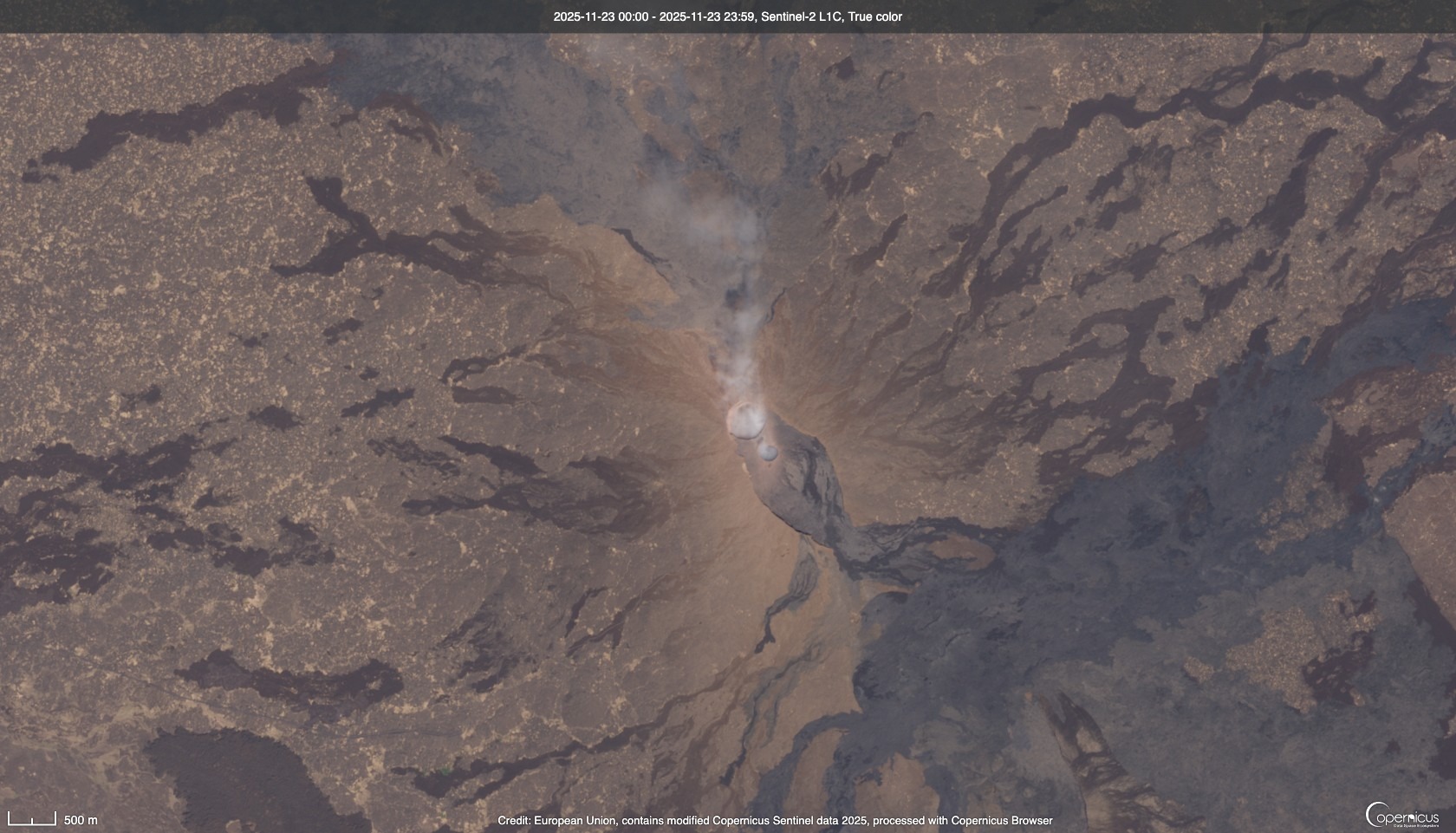
Satellite images captured a volcanic eruption at Ethiopia's Hayli Gubbi volcano. The eruption sent ash towards Yemen and Oman and was the first in about 10,000 years for this volcano. Scientists are monitoring the area for any further activity.Key Facts
- The Hayli Gubbi volcano erupted on Sunday at around 8:30 a.m. UTC.
- It was the first recorded eruption for this volcano in roughly 10,000 years.
- Ash plumes reached heights of up to 45,000 feet (13.7 kilometers).
- The eruption posed potential hazards for aviation and regional air travel.
- Satellite images helped track the ash cloud and its movement across the region.
- No immediate impacts on aviation or nearby communities were reported.
- Scientists continue to monitor the site for any renewed volcanic activity.
- The Afar Rift, where the volcano is located, is a geologically active area in East Africa.
Read the Full Article
This is a fact-based summary from The Actual News. Click below to read the complete story directly from the original source.