Summary
A study from University of California scientists predicts that by 2100, over 5,500 hazardous sites in the United States may face coastal flooding due to rising sea levels. The research shows many areas could be affected sooner, by 2050, especially under high-emissions scenarios, with Louisiana having the highest number of risky sites. This situation poses risks to public safety and health, particularly in communities with fewer resources.
Key Facts
- Over 5,500 hazardous sites in the U.S. are at risk of coastal flooding by 2100.
- Approximately 3,800 of these sites could be threatened by 2050 under high-emissions scenarios.
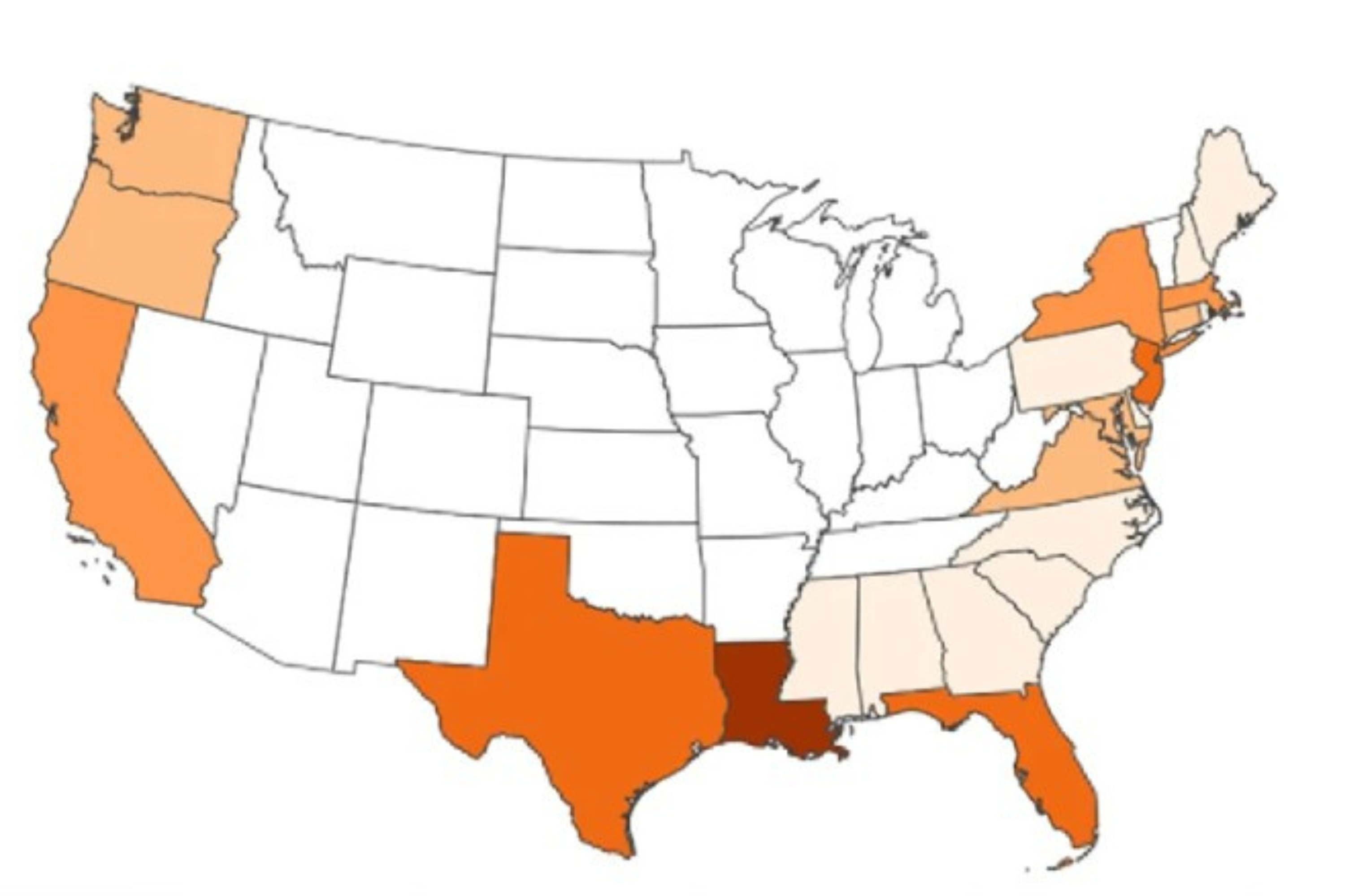
- Louisiana has the highest number of hazardous sites at risk, with over 1,000 locations.
- Florida, New Jersey, California, Louisiana, New York, Massachusetts, and Texas hold nearly 80% of the identified risky sites.
- Coastal flooding could disproportionately affect marginalized, low-income, and minority communities.
- The National Oceanic and Atmospheric Administration (NOAA) predicts a 10-12 inch sea level rise by 2050.
- High-risk cities include Miami, New Orleans, Galveston, Charleston, and Boston.
- The study used maps, facility data, and demographic information to evaluate the risk and impact on communities.