Summary
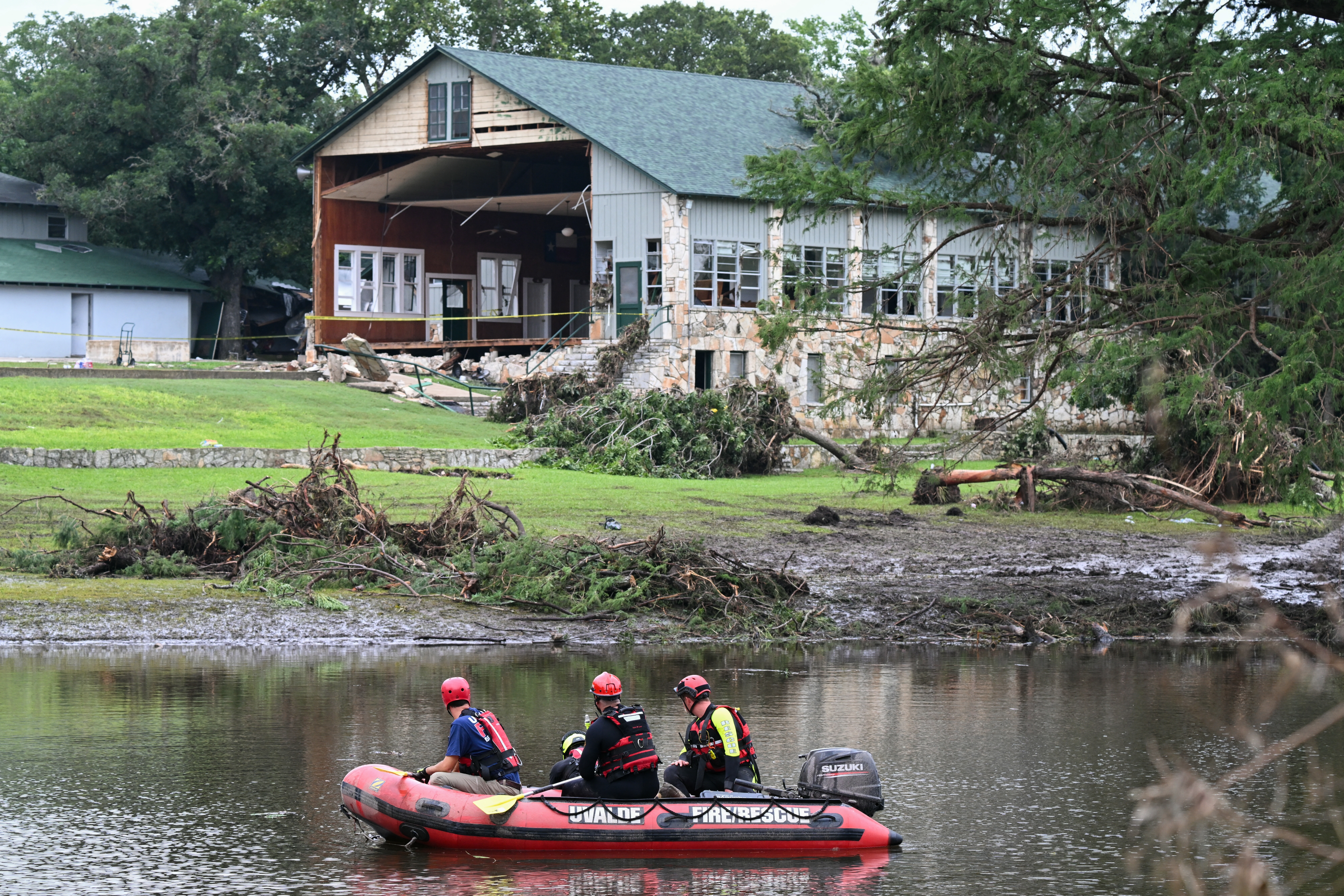
Camp Mystic, an all-girls summer camp by the Guadalupe River, was allowed to remove buildings from federal flood maps, despite data suggesting high flood risks. More than two dozen people died in a flash flood at the camp after these changes were made.
Key Facts
- Camp Mystic is situated along the Guadalupe River and experienced flash floods.
- The federal government allowed the camp to remove some buildings from flood maps.
- These maps are created by FEMA to show areas at high risk for flooding.
- Requests to remove buildings from maps happened at least twice in 2013, 2019, and 2020.
- Removing buildings from flood maps can eliminate some building requirements and the need for flood insurance.
- Updated data suggests the camp faced a higher flood risk than FEMA's maps showed.
- More than two dozen campers and staff died in flash floods on July 4.
- FEMA's maps do not include data on rainfall or flash flooding, focusing instead on storm surges and river flooding.