Summary
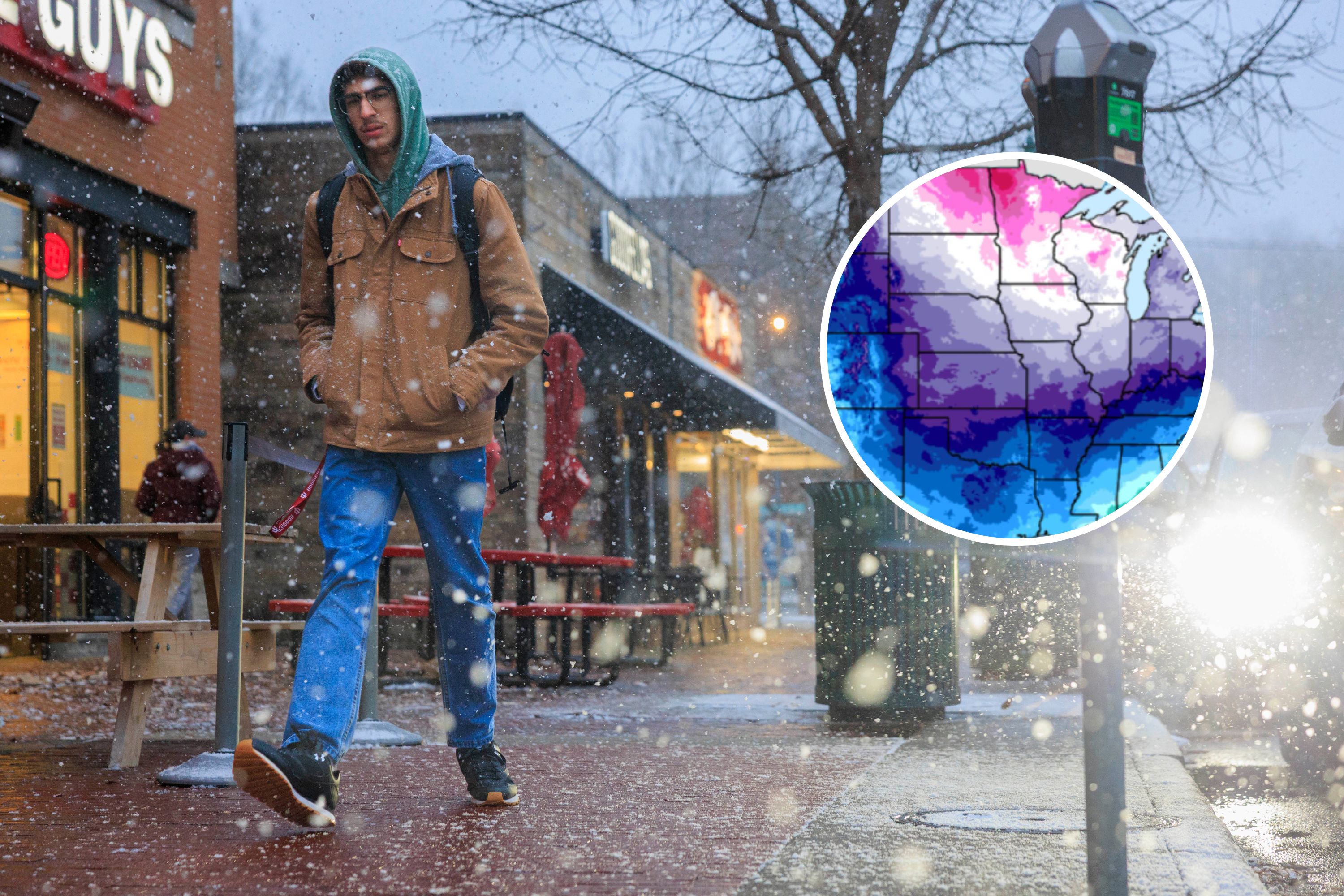
A strong cold front called a polar vortex is heading towards the north-central United States, bringing very cold temperatures. The cold air is expected to move further into the Northeast by the weekend, and a significant winter storm is also predicted to affect parts of the Southern Plains to the Mid-Atlantic.
Key Facts
- A polar vortex is causing cold air to move from the north-central U.S. into the Northeast.
- The cold air will impact states from the northern Plains, Midwest, and Great Lakes by Friday.
- Wind chills in the Upper Midwest are expected to be as low as -50 degrees, which can be dangerous.
- The Northeast and Ohio Valley will experience below-zero temperatures starting Friday night.
- There is a high risk of hypothermia and frostbite due to the extremely low temperatures.
- A major winter storm is likely, bringing snow and ice from the Southern Plains to the Mid-Atlantic.
- Travel disruptions are possible due to heavy snow and icy conditions south of the storm track.
- The polar vortex is a low-pressure area with cold air around Earth's poles, which sometimes moves southward in the northern hemisphere winter.