Satellite Images Show Great Lakes Ice Up Amid 'Bitter Cold'
Summary
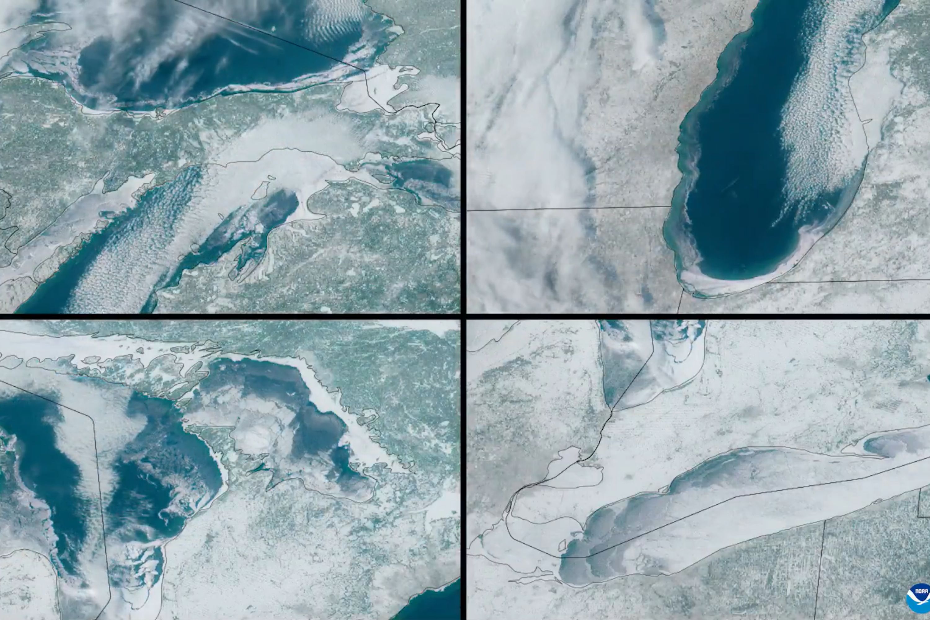
Satellite images have shown a significant increase in ice across the Great Lakes due to extremely cold weather in late January. Over 50% of the lake surfaces are now ice-covered, with Lake Erie having more than 95% ice coverage. The region, including the Northeastern US, is preparing for another wave of cold Arctic air.Key Facts
- Satellite images captured by CIRA and NOAA revealed large ice growth on the Great Lakes.
- Over half of the Great Lakes' surfaces are covered with ice.
- Lake Erie has more than 95% of its surface covered in ice.
- This level of ice coverage is similar to the conditions in 2019 and 2022.
- Many parts of the U.S. experienced very low temperatures at the beginning of February.
- Cold weather reached as far south as Florida.
- Another cold wave is expected in the Great Lakes area and Northeastern US.
- Forecasters predict warmer weather starting in mid-February, which may lead to snowmelt and flooding concerns.
Read the Full Article
This is a fact-based summary from The Actual News. Click below to read the complete story directly from the original source.