Satellite Imagery Shows ‘Powerful’ Storm Take Aim at Alaska
Summary
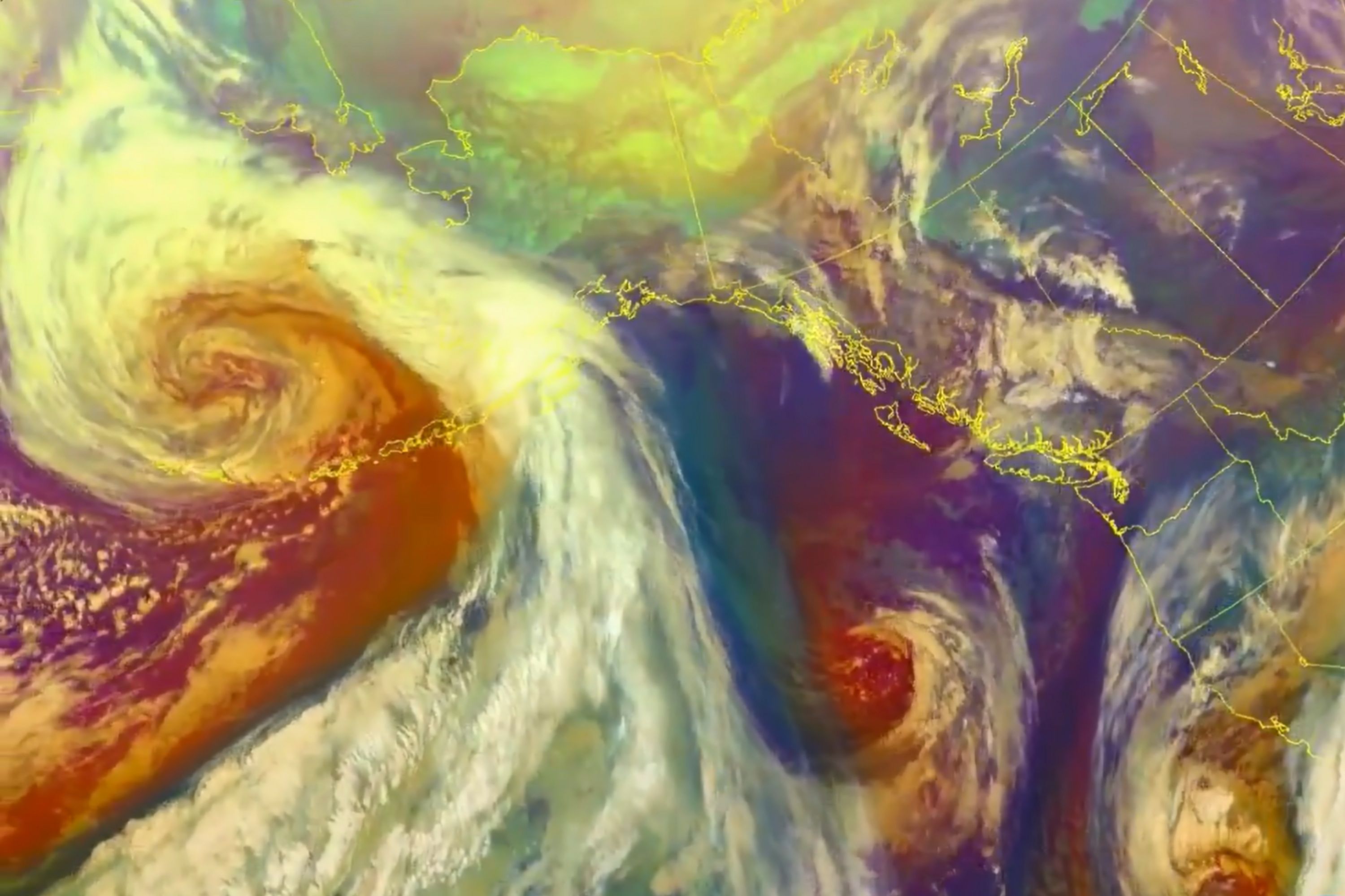
Satellite images from NOAA show a strong storm near Alaska. The storm is bringing bad weather, including blizzards and strong winds, especially affecting the Western Arctic Coast.Key Facts
- NOAA shared satellite images of a strong storm near Alaska in the Bering Sea.
- The storm is bringing blizzards and strong winds to Alaska.
- A blizzard warning is in effect until Thursday at 9 p.m. for the Western Arctic Coast.
- Winds are expected to reach up to 50 miles per hour.
- Up to 2 inches of snow can accumulate, causing low visibility and difficult travel conditions.
- Cities like Cape Lisburne, Point Lay, and Point Hope are affected by this weather.
- NASA shared separate images showing ice in New York City waterways due to a cold spell.
- A large part of the U.S. experienced very cold temperatures and setting record lows in early February.
Read the Full Article
This is a fact-based summary from The Actual News. Click below to read the complete story directly from the original source.