Super El Niño Forecast Strengthens—What It Could Mean for US Winter
Summary
A strong El Niño weather pattern is developing in the Pacific Ocean and is expected to become one of the most intense events on record. This could cause significant changes in weather across the United States through late 2026 and 2027, including increased storms, rainfall, and warmer temperatures in some areas.Key Facts
- El Niño is a natural climate cycle that happens every 2 to 7 years, caused by warmer ocean waters in the tropical Pacific.
- Current forecasts from NOAA and the World Meteorological Organization show El Niño conditions are already present and expected to strengthen quickly.
- Ocean temperatures and heat under the surface in the central and eastern Pacific are much higher than usual, supporting the strong El Niño forecast.
- NOAA’s climate model ran 30 simulations, all showing a peak El Niño event among the strongest in the last 100 years.
- The World Meteorological Organization expects sea-surface temperatures to rise above 2 degrees Celsius in key areas, signaling a rare "super" El Niño.
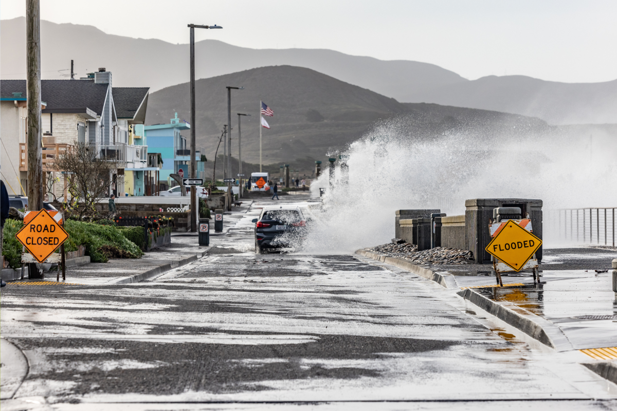
- In the U.S., this could bring more rain to California and the southern states, increase flood risks, and cause more storms on the East Coast during fall and winter.
- Northern U.S. regions may experience warmer-than-normal winter weather.
- The El Niño event may also influence hurricane activity in the Atlantic Ocean.
Read the Full Article
This is a fact-based summary from The Actual News. Click below to read the complete story directly from the original source.