BoM forecasts strongest El Niño on record as research points to ‘alarming’ climate change influence
Summary
Australia’s Bureau of Meteorology reports that the current El Niño weather event in the Pacific is expected to be the strongest on record, with sea surface temperatures rising faster than ever before since records began in 1950. The United Nations warns that this El Niño could last until early 2027 and cause severe impacts worldwide, including hotter, drier conditions and increased risks of droughts, heatwaves, and wildfires, especially in the Pacific region.Key Facts
- El Niño is a weather pattern marked by unusually warm ocean temperatures in the central and eastern Pacific.
- Current sea surface temperatures in the Niño 3.4 region are 2.2 to 2.3 degrees Celsius above average, higher than any previous August on record.
- Temperatures could peak over 3 degrees Celsius above average, surpassing the previous highest peak of 2.6 degrees in 1983.
- This El Niño event has warmed rapidly—more than 2 degrees Celsius between February and July—which is unprecedented in historical records.
- The event is forecasted to continue strengthening and last until early 2027.
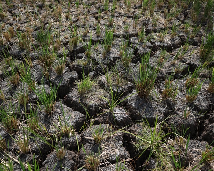
- The El Niño is increasing drought, food and water shortages, and wildfires in areas like Papua New Guinea and Indonesia.
- Scientists say climate change has made a strong El Niño like this six times more likely than in the past.
- Australia recently experienced its third-warmest winter on record, with some states having the hottest winter ever.
Read the Full Article
This is a fact-based summary from The Actual News. Click below to read the complete story directly from the original source.